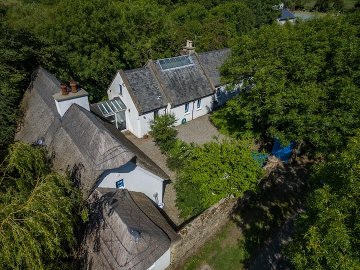
What is recorded here
Located on a fairly level landscape. The cropmark of a rectangular enclosure (dims c. 60m N-S; c. 40m E-W) defined by a single fosse feature is visible on aerial photographs (ASIAP (263) 21-3; (265) 15-6; (267) 26-7). There is a ring-ditch (diam. c. 15m) inside the perimeter at N. It is also visible on the OSI series of aerial photographs (2000) where it is integrated with elements of a rectangular field system (WX024-142003-), and is also visible in images captured in July 2018 by a drone-mounted camera operated by Páid Bates (Skypix Aerial Works).
Compiled by: Michael Moore
Date of revised upload: 2 January, 2019
The monument record does not grant public access. Check the route and ask the landowner before entering private land.
- What survives
- Recorded monument
Places near here
 Field system in Ballyboher,paradise LittleField system · 80 yd
 Church (in ruins)Church · 343 yd
 IndicatedField system · 695 yd
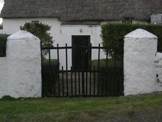 farm housefarm house · 975 yd
 Wilson's MoorWood · 1358 yd
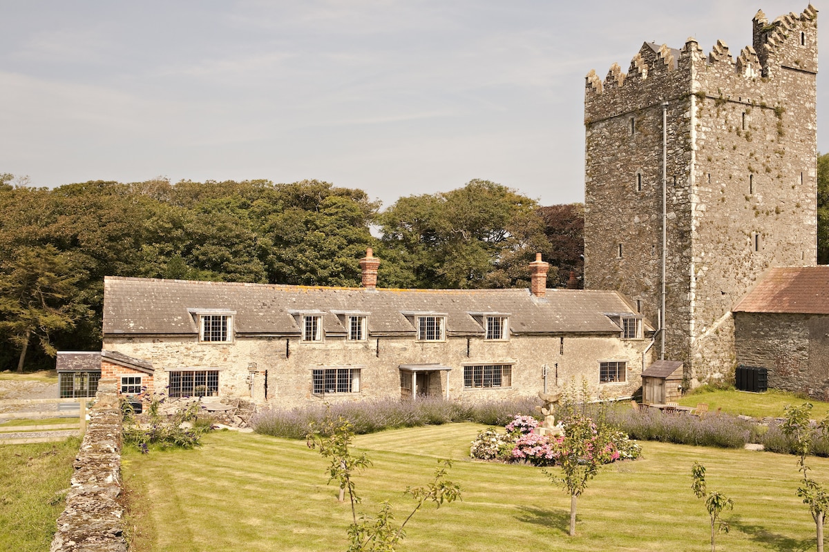 CastleCastle, tower house · 1618 yd
 Ballymacane CastleCastle, unclassified · 1743 yd
 The HamBay · 1.0 mi
 Sigginstown Island (Great)Island · 1.6 mi
 The Bull RockForest · 1.6 mi
 Sigginstown Island (Little)Islet · 1.7 mi
 1798 Memorial PlaqueMemorial · 1.8 mi
Other information
Photo: Credit not shown in the picture search · Rights wording not checked; contact us if this picture should be removed