What is recorded here
On the edge of a small shelf, at the base of an E-facing slope in a reclaimed field of grass and thistles, within an extensive field system (CL009-059001-). The ground slopes in every direction particularly to the E. Hachured on the 1916 ed. of the OS 6-inch map. A poorly defined circular enclosure (diam. 30m) defined by a slight scarp (H 0.2m) visible on Digital Globe (2011-13).
From the National Monuments Service (Archaeological Survey of Ireland) record CL016-020005
The monument record does not grant public access. Check the route and ask the landowner before entering private land.
- What survives
- Recorded monument
Places near here
Photo credits
- Roger Diel, Geograph · CC BY-SA 2.0
- National Inventory of Architectural Heritage
- Rod Allday, Geograph · CC BY-SA 2.0
- The Banner, Wikimedia Commons · CC BY-SA 4.0
- Colin Park, Geograph · CC BY-SA 2.0
- Andreas F. Borchert, Wikimedia Commons · CC BY-SA 4.0
- N Chadwick, Geograph · CC BY-SA 2.0
- Ingo Mehling, Wikimedia Commons · CC BY-SA 3.0
- Joseph Mischyshyn, Geograph · CC BY-SA 2.0
 Ballyganner Castle (in ruins)Castle, tower house · 1460 yd
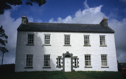 Hollywell HouseFarm house · 1.4 mi
 Leamaneh Castle (in ruins)House, fortified house · 1.4 mi
 Saint Attracta's Catholic ChurchChurch/chapel · 1.7 mi
 Burren Centre KilfenoraVisitor information · 1.8 mi
 CrossCross, High cross · 1.8 mi
 High CrossHeritage attraction · 1.8 mi
 CrossCross, High cross · 1.8 miFergus River CaveCave · 2.6 mi
 Cave of the Wild HorsesCave · 3.6 mi
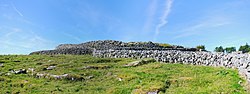 CaherconnellHeritage attraction · 4.0 mi
 Poulnabrone - Burren GeositeVisitor information · 4.3 mi
More archaeology and monuments in County Clare · All of County Clare
What do you know about this place?