
What is recorded here
Aerial photograph (GB89.O.32) shows cropmark of two conjoined rectangular enclosures each defined by double fosses. Close proximity to site of castle (CW012-015).
The monument record does not grant public access. Check the route and ask the landowner before entering private land.
- What survives
- Recorded monument
Places near here
 IndicatedEnclosure · 1227 yd
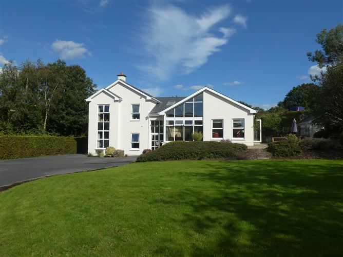 Enclosure in ClonmelshEnclosure · 1334 yd
 Saint Joseph's Catholic Churchchurch/chapel · 1521 yd
 Graveyard in ClonmelshGraveyard · 1.1 mi
 Pedunculate OakPedunculate Oak · 1.3 mi
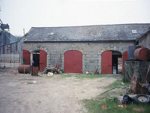 Castletown Castlestables · 1.3 mi
 Site of CastleCastle, unclassified · 2.3 mi
 Graiguealug Castle in ruinsCastle, unclassified · 2.4 mi
 Church (in ruins), GraveyardChurch · 3.2 mi
 Common LimeCommon Lime · 3.3 mi
 Carlow County MuseumMuseum · 3.5 mi
 Carlow CastleRuined medieval castle · 3.6 mi
Other information
Photo: Credit not shown in the picture search · Rights wording not checked; contact us if this picture should be removed