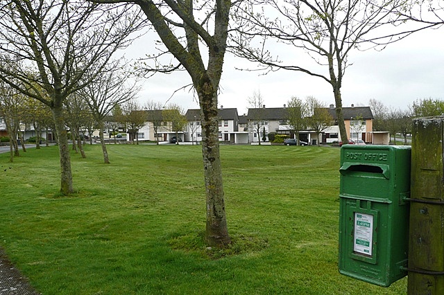
What is recorded here
Reported to the Archaeological Survey of Ireland as the location of possible enclosures. There is no visible surface trace of any enclosure at this location. A small, oval rise (dims. c. 6m NE-SW; c. 4m NW-SE) is located on top of a naturally formed plateau, c. 45m to SE of the grid point. This could be described as an area of archaeological potential. Traces of levelled field boundaries, which correspond to those on historic mapping, are within the vicinity.
Compiled by: Alison McQueen and Vera Rahilly
Date of upload: 8 September 2014
The monument record does not grant public access. Check the route and ask the landowner before entering private land.
- What survives
- Recorded monument
Places near here
 CastleCastle, motte · 1048 yd
 IndicatedFairy fort / earthen ringfort · 1192 yd
 Corbally Ho.Country house · 1501 yd
 Enclosure in KillahaneEnclosure · 1674 yd
 Fieries CastleCastle · 1686 yd
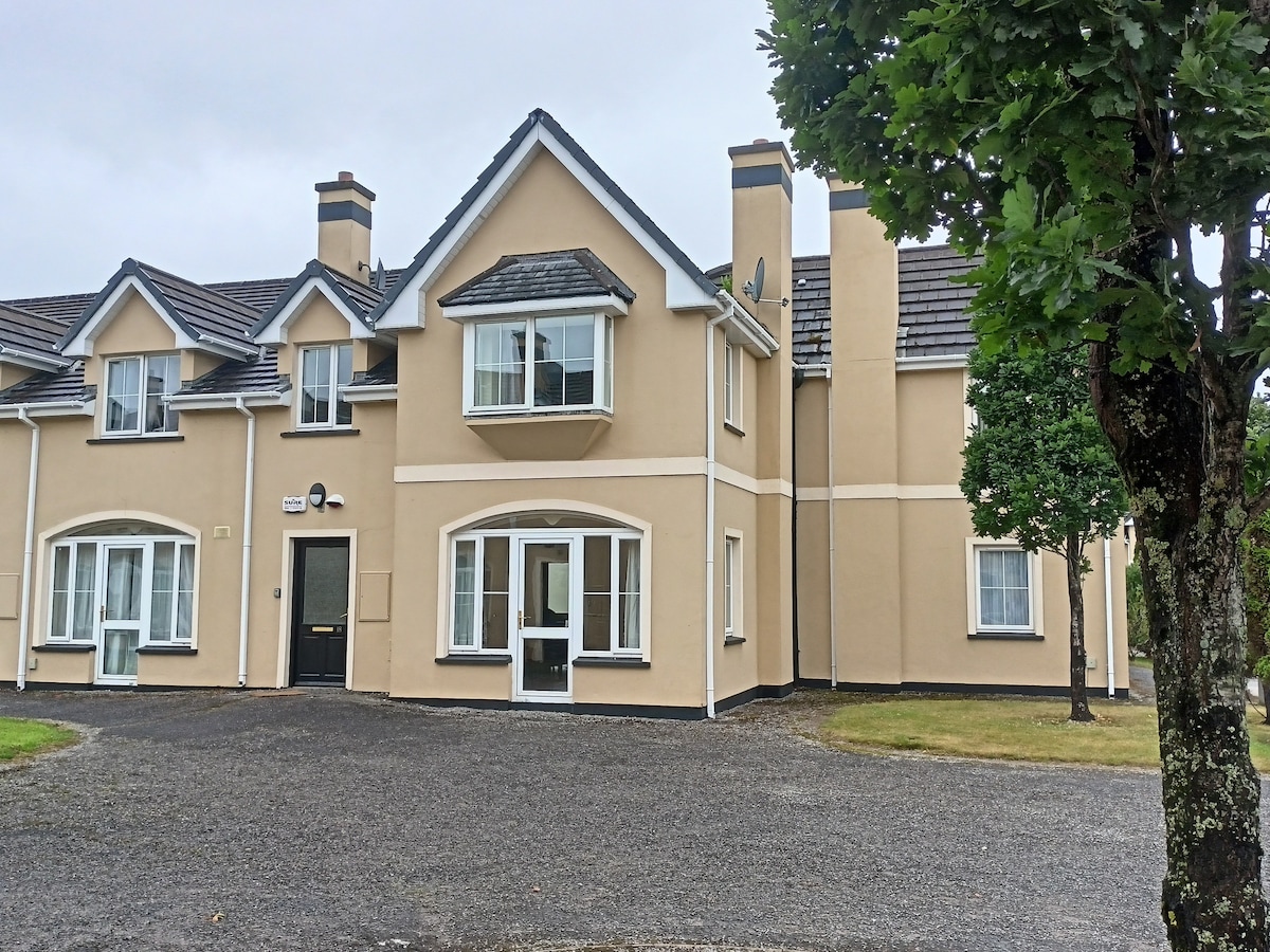 Batterfield HouseRuins · 1733 yd
 The Kerry Creamery ExperienceHeritage attraction · 5.1 mi
 Ballygamboon Forest Recreation AreaWood · 5.1 mi
 Aghadoe Early Medieval Ecclesiastical SiteHeritage attraction · 6.0 mi
 Famine MemorialMemorial · 7.1 mi
 Japanese pagoda treeJapanese pagoda tree · 7.3 mi
 Circular WalkWalking route · 7.3 mi
Other information
Photo: Credit not shown in the picture search · Rights wording not checked; contact us if this picture should be removed