What is recorded here
An occupied single storey house, U-shaped in ground plan. The front elevation (ENE-facing) is of five bays and has a central door with a rectangular overlight. The long rectangular window opes contain sash frames with glazing bars. The hipped roof has two off-centre chimneys on the front elevation and one on each of the rear wings. There is a yard to the rear of the house and a range of outhouses to the S. The house is believed to have been built as a presbytery some time around 1841 by a Father Dunne (Bary 1994, 87). (Castleisland District Archaeological Survey)
Compiled by: Elizabeth Byrne, Ursula Egan and Sheila Ronan, Archaeological Survey Unit, University College, Cork.
Date of upload: 31 January 2011
The monument record does not grant public access. Check the route and ask the landowner before entering private land.
- What survives
- Recorded monument
Places near here
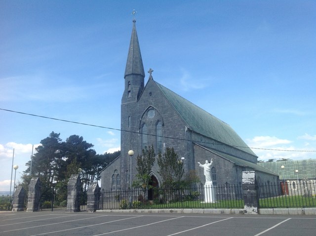 Saint Gertrude's Catholic Churchchurch/chapel · 590 yd
 Enclosure in KillahaneEnclosure · 676 yd
 Fieries CastleCastle · 687 yd
 IndicatedFairy fort / earthen ringfort · 1030 yd
 Molahiffe Mill (Corn)Mill, unclassified · 1110 yd
 CastleCastle, ringwork · 1.0 mi
 Ballygamboon Forest Recreation AreaWood · 4.3 mi
 The Kerry Creamery ExperienceHeritage attraction · 4.8 mi
 Scotia's GraveArchaeological place · 6.3 mi
 Aghadoe Early Medieval Ecclesiastical SiteHeritage attraction · 6.5 mi
 Japanese pagoda treeJapanese pagoda tree · 7.5 mi
 Famine MemorialMemorial · 7.7 mi
Other information
Photo: Credit not shown in the picture search · Rights wording not checked; contact us if this picture should be removed