
What is recorded here
In pasture, on a SW-facing slope. A roughly semicircular area (15.4m NW-SE) defined by a curving bank (int. H 0.2m; ext. H 0.7m) SW-NE and by a field boundary along its straight SE side (L 28m). A slight indication of a fosse is evident along the WNW arc. The interior slopes down to the ESE. The rath is outlined on the 1846 and 1897 OS 6-inch maps as a semicircular area (c. 18m NW-SE) with the straight SE side (L c. 30m) formed by a field boundary. It is probably the rath, 'which is not known by any particular name', which was recorded in Gortalassa townland in the 1840s (OSNB, Molahiffe, no. 1, 17). (Castleisland District Archaeological Survey)
Compiled by: Elizabeth Byrne, Ursula Egan and Sheila Ronan, Archaeological Survey Unit, University College, Cork.
Date of upload: 31 January 2011
A local fairy fort (ringfort/rath); wider significance not recorded.
The monument record does not grant public access. Check the route and ask the landowner before entering private land.
- What survives
- Recorded monument
Places near here
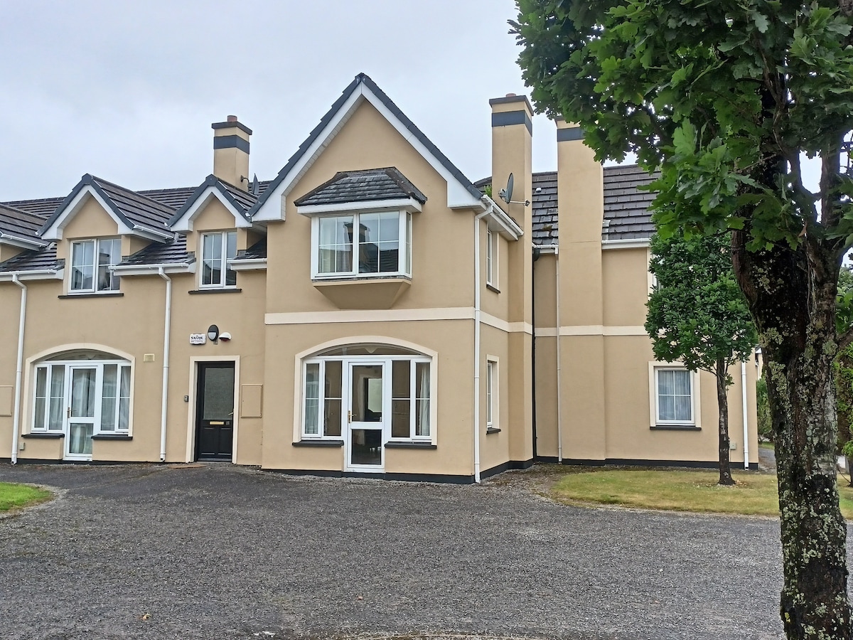 Batterfield HouseRuins · 598 yd
 Enclosure in BallybaneEnclosure · 661 yd
 Fieries CastleCastle · 682 yd
 Corbally Ho.Country house · 1030 yd
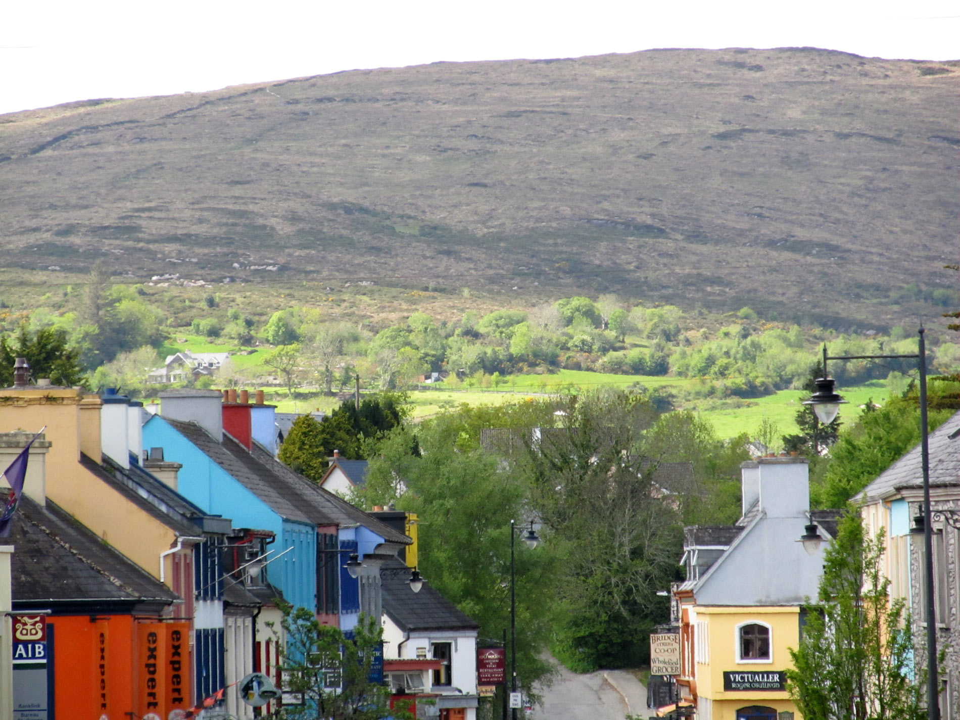 ToberreendoneyHoly well · 1348 yd
 CastleCastle, ringwork · 1.6 mi
 The Kerry Creamery ExperienceHeritage attraction · 4.5 mi
 Ballygamboon Forest Recreation AreaWood · 4.7 mi
 Aghadoe Early Medieval Ecclesiastical SiteHeritage attraction · 5.9 mi
 Scotia's GraveArchaeological place · 6.7 mi
 Japanese pagoda treeJapanese pagoda tree · 6.9 mi
 Famine MemorialMemorial · 7.2 mi
Other information
Photo: Credit not shown in the picture search · Rights wording not checked; contact us if this picture should be removed