
What is recorded here
Reported to the Archaeological Survey of Ireland as extant mounds. Conspicuous oval mound (dims. 18m NW-SE; 8m NE-SW) of which c. 9m has been quarried along the NE-side. Mound is defined by a steep scarp (Wth 11.2m; H 2.75m) S->N, is reduced to a low scarp (Wth 3.2m; H 1.25m) N->SE where partially excavated in antiquity and is gradual SE->S. Top of mound is level in centre and slopes down to SW across the SW-half; small quarried area in S quadrant. Scarp is obscured by dense vegetation S->N.
Compiled by: Alison McQueen and Vera Rahilly
Date of upload: 8 September 2014
The monument record does not grant public access. Check the route and ask the landowner before entering private land.
- What survives
- Recorded monument
Places near here
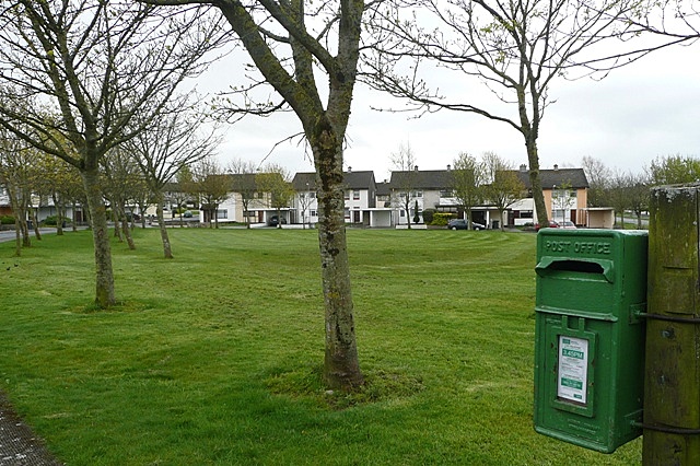 Enclosure in BallybaneEnclosure · 1048 yd
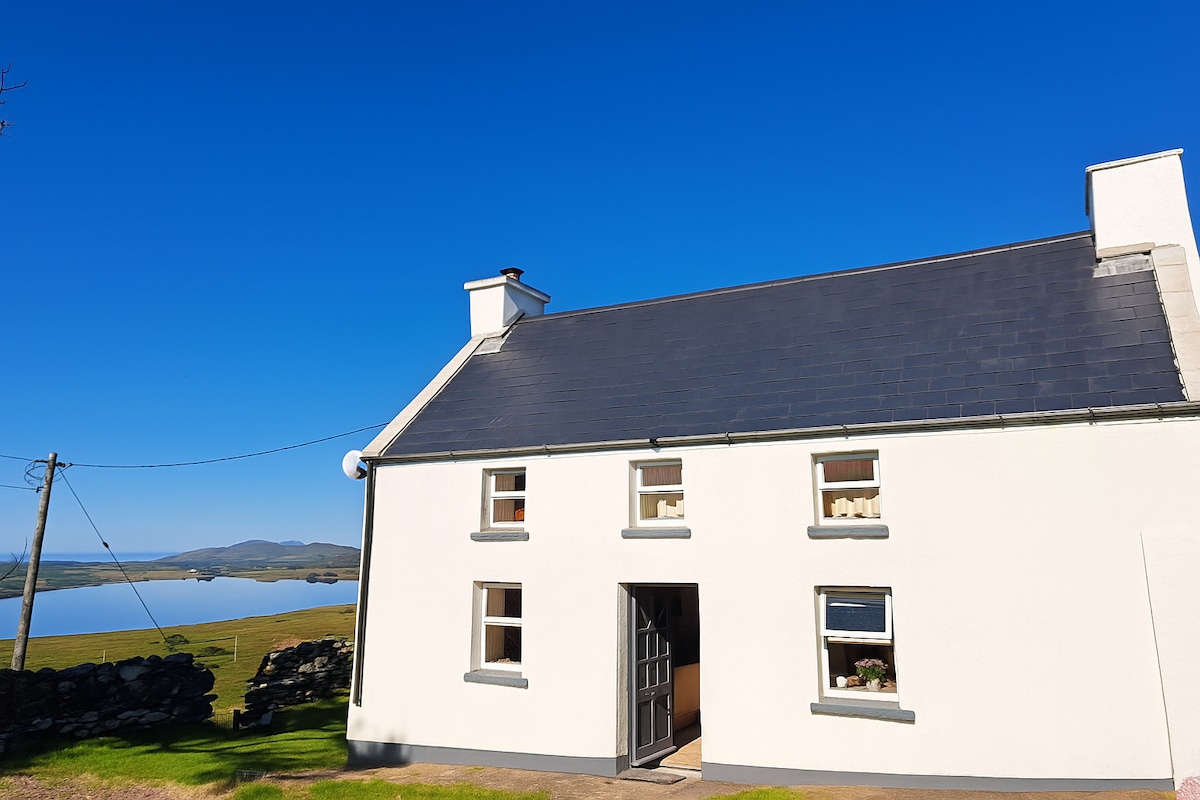 Enclosure in Gowlane (magunihy By.)Enclosure · 1136 yd
 Farranfore Br.Bridge · 1.3 mi
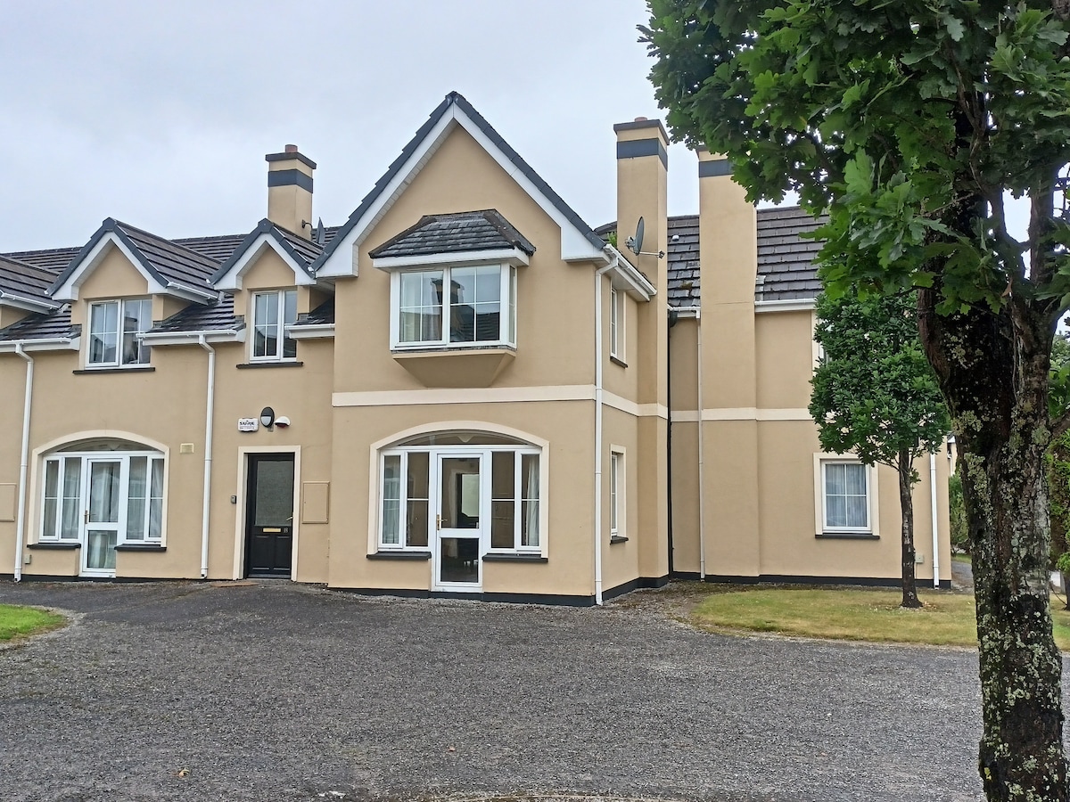 Batterfield HouseRuins · 1.3 mi
 Fieries CastleCastle · 1.4 mi
 Site of CourtCastle, unclassified · 2.3 mi
 The Kerry Creamery ExperienceHeritage attraction · 5.1 mi
 Aghadoe Early Medieval Ecclesiastical SiteHeritage attraction · 5.5 mi
 Ballygamboon Forest Recreation AreaWood · 5.7 mi
 Famine MemorialMemorial · 6.5 mi
 GinkgoGinkgo · 6.8 mi
 Circular WalkWalking route · 6.8 mi
Other information
Photo: Credit not shown in the picture search · Rights wording not checked; contact us if this picture should be removed