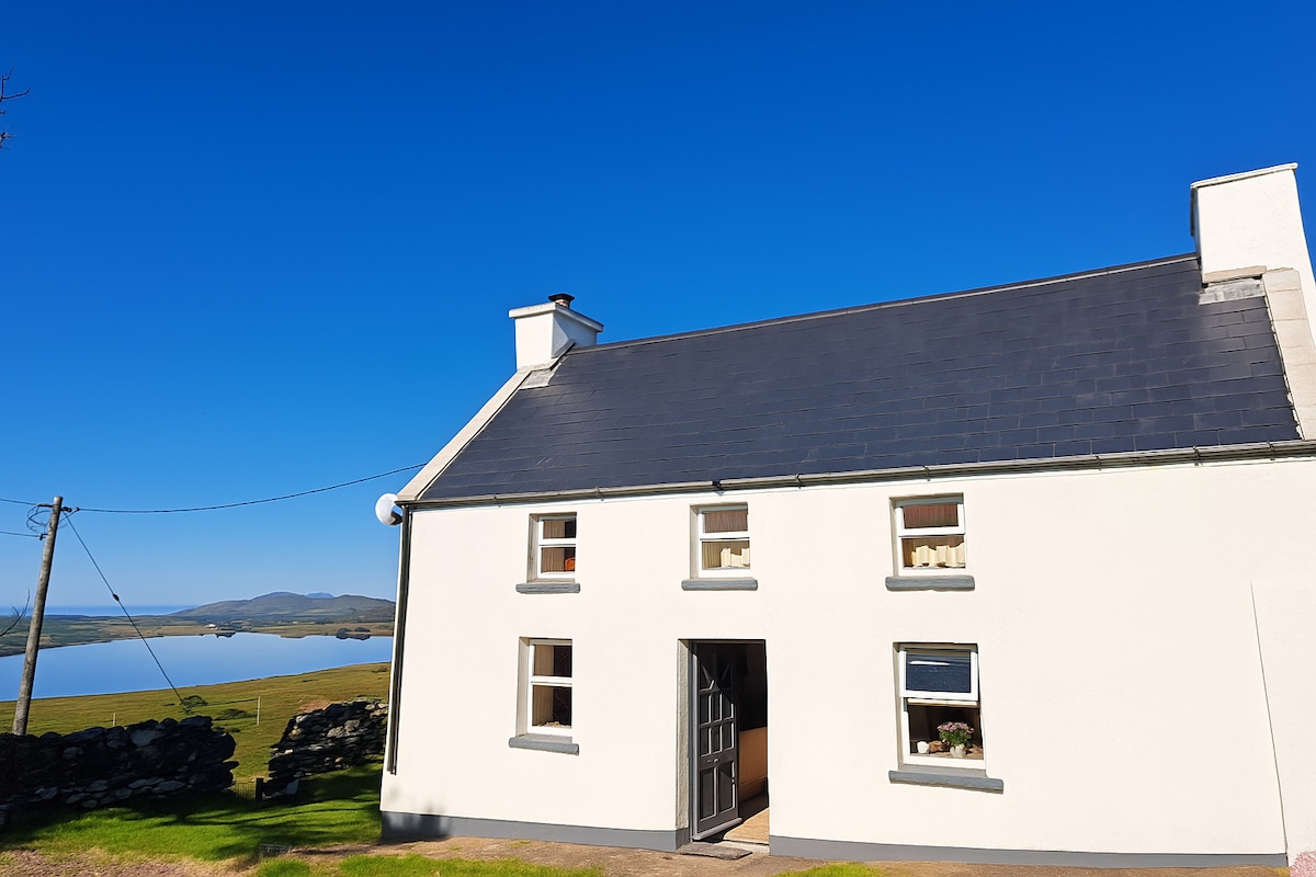
What is recorded here
Reported to the Archaeological Survey of Ireland as the low remains of a small enclosure. There is no visible surface trace of any enclosure at this location. A small oval cropmark is evident at this location on modern aerial photography (OSi 2010).
Compiled by: Alison McQueen and Vera Rahilly
Date of upload: 10 September 2014
The monument record does not grant public access. Check the route and ask the landowner before entering private land.
- What survives
- Recorded monument
Places near here
 Burnt spread in Gowlane (magunihy By.)Burnt spread · 450 yd
 Ecclesiastical enclosure in Gowlane (magunihy By.)Ecclesiastical enclosure · 1043 yd
 CastleCastle, motte · 1136 yd
 Gweestin Br.Bridge · 1.5 mi
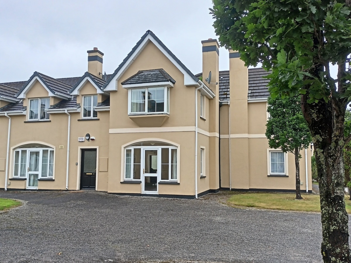 Batterfield HouseRuins · 1.6 mi
 Fieries CastleCastle · 1.9 mi
 Aghadoe Early Medieval Ecclesiastical SiteHeritage attraction · 4.9 mi
 The Kerry Creamery ExperienceHeritage attraction · 5.0 mi
 Famine MemorialMemorial · 5.9 mi
 GinkgoGinkgo · 6.1 mi
 Circular WalkWalking route · 6.1 mi
 Kerry 2nd Brigade of the Irish Republican ArmyMemorial · 6.2 mi
Other information
Photo: Credit not shown in the picture search · Rights wording not checked; contact us if this picture should be removed