
What is recorded here
In pasture, immediately W of a stream. According to local information, a low circular mound here was levelled in the 1960s. Some burnt material is spread over the approximate area of the fulacht fia. (Castleisland District Archaeological Survey)
Compiled by: Elizabeth Byrne, Ursula Egan and Sheila Ronan, Archaeological Survey Unit, University College, Cork.
Date of upload: 31 January 2011
The monument record does not grant public access. Check the route and ask the landowner before entering private land.
- What survives
- Recorded monument
Places near here
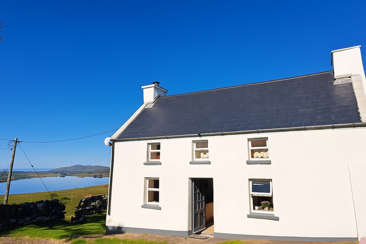 Enclosure in Gowlane (magunihy By.)Enclosure · 450 yd
 Ecclesiastical enclosure in Gowlane (magunihy By.)Ecclesiastical enclosure · 604 yd
 CastleCastle, motte · 1253 yd
 Gweestin Br.Bridge · 1.3 mi
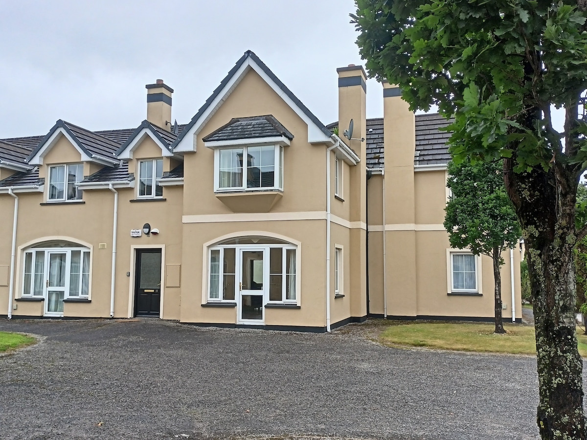 Batterfield HouseRuins · 1.5 mi
 Fieries CastleCastle · 1.8 mi
 The Kerry Creamery ExperienceHeritage attraction · 4.8 mi
 Aghadoe Early Medieval Ecclesiastical SiteHeritage attraction · 4.8 mi
 Famine MemorialMemorial · 5.9 mi
 Circular WalkWalking route · 6.1 mi
 GinkgoGinkgo · 6.1 mi
 Ballygamboon Forest Recreation AreaWood · 6.2 mi
Other information
Photo: Credit not shown in the picture search · Rights wording not checked; contact us if this picture should be removed