What is recorded here
'Infra-red aerial photography (National Coastline Survey) clearly shows a crop mark enclosure at this location on rising ground overlooking the River Lee to the north-north-east. The site shows up as a dark line and is approximately 33m in diameter. There is no trace of this site at ground level.'
Description from ‘The Prehistoric Settlement of the Lee Valley, Tralee, Co. Kerry; A Landscape Perspective’ by Michael Connolly. PhD Thesis UCC 2008
Date of upload: 20 June 2012
A local fairy fort (ringfort/rath); wider significance not recorded.
This remains an important historical record, but the official description says the monument is no longer visible or has been destroyed. The monument record does not grant public access. Check the route and ask the landowner before entering private land.
- What survives
- No visible remains or recorded as destroyed
Places near here
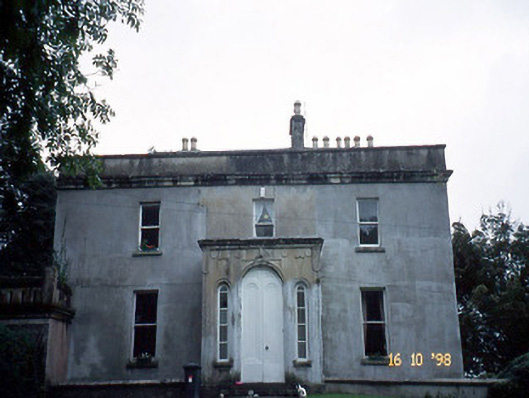 Ballyard Househouse · 739 yd
 Tralee Bay Wetlands Eco and Activity ParkNature reserve · 747 yd
 Field system in BallydunleaField system · 777 yd
 Ballyard Bridgebridge · 841 yd
 Enclosure in BallydunleaEnclosure · 1126 yd
 Blennerville WindmillHeritage attraction · 1417 yd
 Sonny McCarthy MemorialMonument · 1498 yd
 View of WindmillHeritage attraction · 1543 yd
 Pádraig Mac PiaraisMemorial · 1582 yd
 CastleCastle, unclassified · 1.0 mi
 Castle MacallistrumCastle, unclassified · 1.2 mi
 Knockmichael MountainMountain / peak · 1.9 mi
Other information
Photo: Credit not shown in the picture search · Rights wording not checked; contact us if this picture should be removed