What is recorded here
On an E-facing slope in pastureland. Poorly preserved enclosure, possibly subcircular in plan (N-S c. 60m). A field boundary, running N-S, cuts the monument in two and no visible trace survives to E of it. The surviving section is defined by an earthen bank from SW to NW, outside of which at WSW are traces of a possible fosse. From NW to N, the monument appears to have been truncated somewhat and is now defined by a straight scarp.
The above description is derived from the published 'Archaeological Inventory of County Galway Vol. II - North Galway'. Compiled by Olive Alcock, Kathy de hÓra and Paul Gosling (Dublin: Stationery Office, 1999).
Date of upload: 05 August 2010
This remains an important historical record, but the official description says the monument is no longer visible or has been destroyed. The monument record does not grant public access. Check the route and ask the landowner before entering private land.
- What survives
- No visible remains or recorded as destroyed
Places near here
 Enclosure in BallincurryEnclosure · 288 yd
 Quarry in BallincurryQuarry · 816 yd
 Enclosure in Glinsk (ballymoe By.)Enclosure · 1295 yd
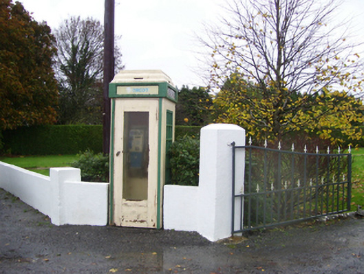 telephone boxtelephone box · 1543 yd
_-_geograph.org.uk_-_1952978.jpg?width=1280) Bawn in Glinsk (ballymoe By.)Bawn · 1.0 mi
Bawn in Glinsk (ballymoe By.)Bawn · 1.0 mi Site of Killomaine Grave YardArchaeological place · 1.7 mi
 HawthornHawthorn · 3.4 mi
 Site of Ballyglass CastleCastle, unclassified · 4.7 mi
 European ashEuropean ash · 5.2 mi
 Mount MaryMountain / peak · 5.3 mi
 Sally IslandIslet · 6.2 mi
 Roscommon CastleCastle · 8.9 mi