
What is recorded here
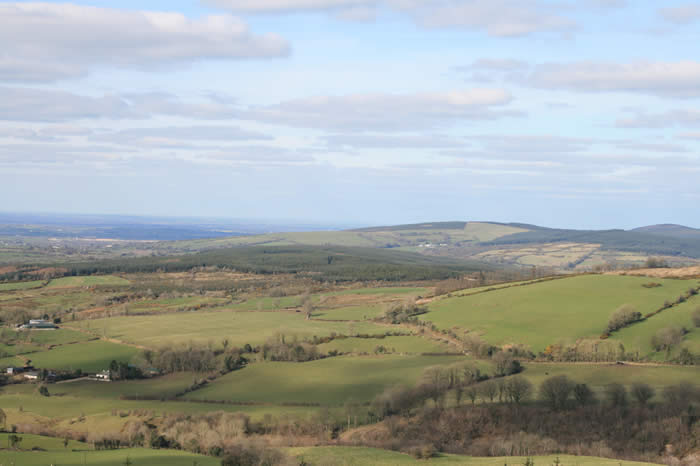
On level pasture land. Circular area (16.25m N-S; 19m E-W) enclosed by an earthen bank (ext. H 1.8m; Wth 3m) with no traces of an outer fosse or possible entrance feature.
The above description is derived from the published 'Archaeological Inventory of County Offaly' (Dublin: Stationery Office, 1997). In certain instances the entries have been revised and updated in the light of recent research.
Date of upload: 23 May 2011
The monument record does not grant public access. Check the route and ask the landowner before entering private land.
- What survives
- Recorded monument
Places near here
 Burial in Ballincloghan LittleBurial · 591 yd
 St. Cormacs WellHoly well · 845 yd
 Arthur's WellSpring · 884 yd
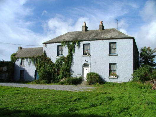 Franckford Househouse · 1088 yd
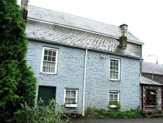 Southavenhouse · 1150 yd
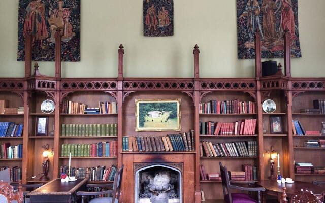 Broughal CastleCastle, unclassified · 1244 yd
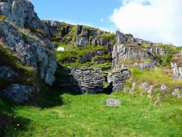 Saint Cormac's WellSpring · 1279 yd
 Beach ClumpWood · 1706 yd
 OutlinedCastle, unclassified · 1.3 mi
 Graveyard in Ballyboy (ballyboy By.)Graveyard · 1.9 mi
 Knockhill GroveWood · 2.5 mi
 The Offaly WayWalking route · 2.7 mi
Other information
Photo: Credit not shown in the picture search · Rights wording not checked; contact us if this picture should be removed