What is recorded here
Situated on a gentle SE-facing slope in an ash plantation. Marked on the 1838 OS 6-inch map as a circular enclosure (max. diam. c. 45m), and as 'Site of Fort'. Not visible at ground level.
From the National Monuments Service (Archaeological Survey of Ireland) record WI035-003
The monument record does not grant public access. Check the route and ask the landowner before entering private land.
- What survives
- Recorded monument
Places near here
Photo credits
- National Inventory of Architectural Heritage
- Rafał Wesołowski, Wikimedia Commons · CC BY-SA 4.0
- 瑞丽江的河水, Wikimedia Commons · CC BY-SA 4.0
- Sitomon, Wikimedia Commons · CC BY-SA 2.0
- Walter Siegmund (talk), Wikimedia Commons · CC BY-SA 3.0
- Britishfinance, Wikimedia Commons · CC BY-SA 4.0
- The Vicious Chicken of Bristol, Wikimedia Commons · CC BY-SA 4.0
Enclosure in BallinaclashEnclosure · 457 ydEnclosure in Ballard (ballinacor South By.)Enclosure · 820 yd Whaleyabbey HouseHouse · 939 ydBallinaclash BridgeBridge · 1166 ydGreenan Farm Museum & MazeMuseum · 1.8 miViewing TowerHeritage attraction · 2.2 miEuropean Yew2.3 miNoble Fir2.4 miSite of Phelims CastleCastle, tower house · 2.7 miSite of Phelim's CastleRuins · 2.7 miCroaghanmoiraMountain / peak · 4.2 miBattle of GlenmalureMajor battlefield · 6.7 mi
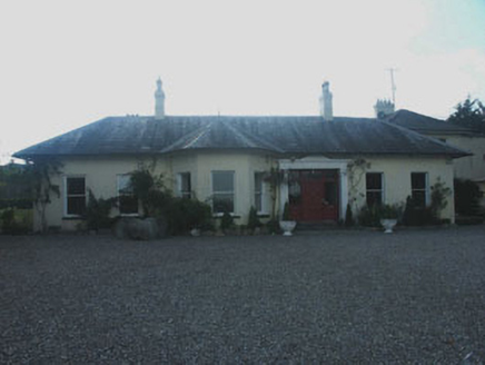 Whaleyabbey HouseHouse · 939 yd
 Ballinaclash BridgeBridge · 1166 ydGreenan Farm Museum & MazeMuseum · 1.8 mi
 Viewing TowerHeritage attraction · 2.2 mi
 European Yew2.3 mi
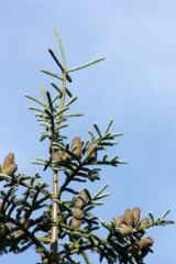 Noble Fir2.4 miSite of Phelims CastleCastle, tower house · 2.7 miSite of Phelim's CastleRuins · 2.7 mi
 CroaghanmoiraMountain / peak · 4.2 mi
 Battle of GlenmalureMajor battlefield · 6.7 mi
More archaeology and monuments in County Wicklow · All of County Wicklow
What do you know about this place?