
What is recorded here
Aerial photograph (GB89.O.21) shows cropmark of a circular enclosure defined by a fosse.
Compiled by: Claire Breen
Date of upload: 19 August 2011
The monument record does not grant public access. Check the route and ask the landowner before entering private land.
- What survives
- Recorded monument
Places near here
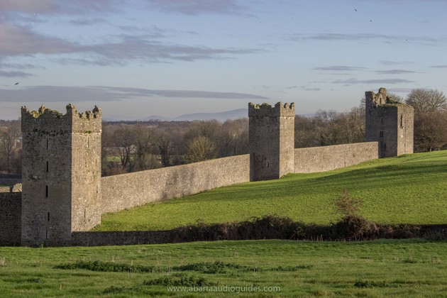 Enclosure in KilmeanyEnclosure · 477 yd
 Enclosure in QuinaghEnclosure · 955 yd
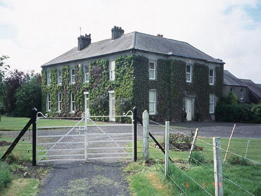 Kilmeany Househouse · 1058 yd
 Staplestown Church (Ballinacarrig)church/chapel · 1319 yd
 Site of CastleCastle, unclassified · 1.7 mi
 Graigue Castle in ruinsCastle, unclassified · 1.8 mi
 Carlow County MuseumMuseum · 2.1 mi
 Brownshill Portal TombVisitor information · 2.2 mi
 White willowWhite willow · 2.5 mi
 Pedunculate OakPedunculate Oak · 2.6 mi
 Kilmurry Church (in ruins), GraveyardChurch · 3.9 mi
 Church (in ruins), GraveyardChurch · 4.2 mi
Other information
Photo: Credit not shown in the picture search · Rights wording not checked; contact us if this picture should be removed