What is recorded here
In pasture, on a gentle SE-facing slope. Oval area (dims. 37m E-W; 31m N-S) defined by scant remains of bank (overall Wth 8.15m; Wth at top 2.65m; int. H 0.45m; ext. H 1.25m) which is reduced to scarp around SE and NW arcs. Fosse (overall Wth 5.5m; basal Wth 3m; D 0.95m) has been backfilled W-NW and at N, possibly where inner bank has been levelled into it. Causeway (Wth 2.5m) at W may be original entrance and causeway (Wth 5-6m) at NW appears modern. Interior has a gentle SE-facing slope.
Compiled by: Jean Farrelly
Date of upload: 26 August 2011
The monument record does not grant public access. Check the route and ask the landowner before entering private land.
- What survives
- Recorded monument
Places near here
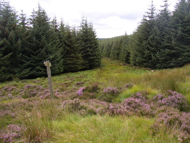 RoadRoad, road/trackway · 1047 yd
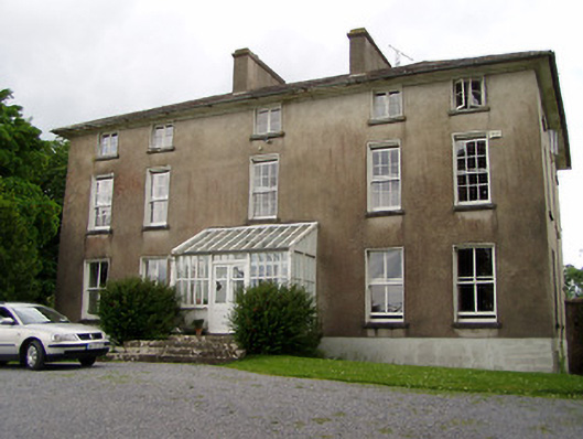 Silverfort Housecountry house · 1558 yd
 Enclosure in SilverfortEnclosure · 1686 yd
 IndicatedFairy fort / earthen ringfort · 1744 yd
 Taylor's WoodWood · 1.1 mi
 Noan WoodWood · 1.2 mi
 Ballinure HillMountain / peak · 1.6 mi
 CastleCastle, ringwork · 1.6 mi
 The GarrisonCastle, tower house · 1.9 mi
 Gobban Saer's GraveArchaeological place · 4.0 mi
 Slieveardagh Heritage CentreVisitor information · 4.0 mi
 Ballyknock HillMountain / peak · 4.7 mi