What is recorded here
On the summit of a low hillock on a broad NW-SE terrace along the SW side of Clomaneagh Hills. The field has been reclaimed but the lower slopes of the hillock are wet, in grassland. There are extensive views in all directions. A roughly D-shaped area (max. dims. c. 62m NNE-SSW; c. 77m WNW-ESE) is indicated on the 1st (1839) ed. OS 6-inch map and on the 1900 revision. This appears to be a natural hillock which was enclosed by a field boundary. However, an aerial photograph (CUCAP BGN090, 19 July 1971) shows a roughly circular enclosure (diam. c. 30m) within this D-shaped area. All these features were levelled during reclamation work and the enclosure is not visible at ground level.
Compiled by: Jean Farrelly
Date of upload: 28 May 2019
The monument record does not grant public access. Check the route and ask the landowner before entering private land.
- What survives
- Recorded monument
Places near here
 Borrismore Ringfort (Rath)Archaeological place · 409 yd
 rectory/glebe/vicarage/curate's houserectory/glebe/vicarage/curate's house · 541 yd
 CastleCastle, tower house · 553 yd
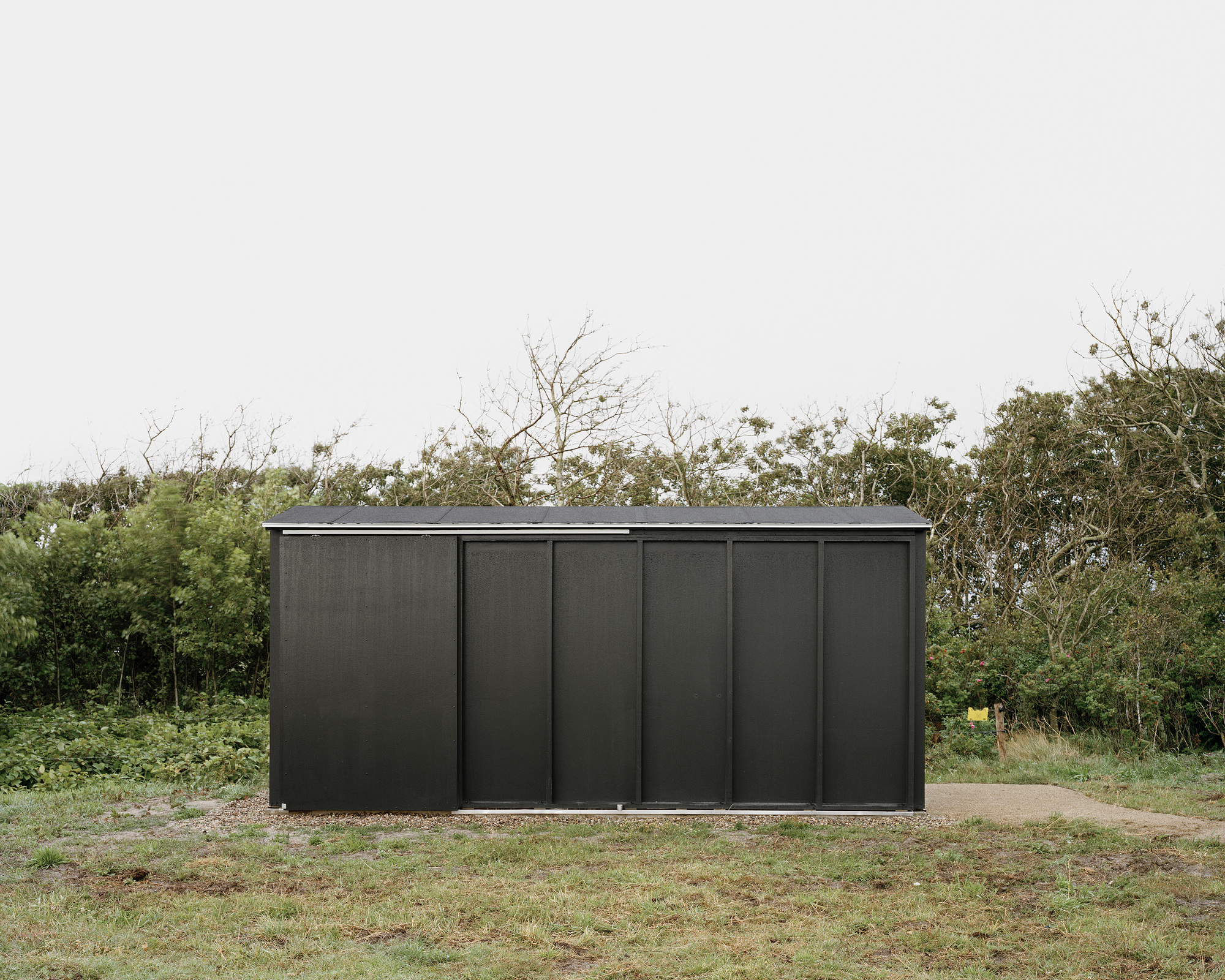 Enclosure in WoodsgiftEnclosure · 1411 yd
 Ardaneena Church (in ruins)Church · 1467 yd
 Clomantagh HillMountain / peak · 1.5 mi
 John HelyMemorial · 1.9 mi
 DelaneyMemorial · 2.1 mi
 Black CastleCastle, hall-house · 2.1 mi
 Kildrinagh WoodForest · 2.7 mi
 Deerpark WoodWood · 4.3 mi
 Anker's IslandIsland · 9.5 mi