
What is recorded here
Located within relatively flat arable land but at a high contour in the landscape. Expansive views S to the Dublin/Wicklow Mountains. The enclosure can be seen on Google Earth coverage (4 July 2008) where it is visible comprising both negative and positive cropmarks. The enclosure is circular (ext. diam. c. 30.5m). The Google Earth image appears to show evidence of an inner bank surrounded by an outer ditch (Wth c. 3.5m). There is no evidence for an entrance gap through the ditch. Located in a large arable field c. 180m NW of a group of three ring-ditches (DU007-046----, DU007-047----and DU007-048----). An unnamed E-W running stream is located c. 100m to the S.
Compiled by: David O’Connor
Revised by: Tom Condit
Upload of revision: 16 October 2020
The monument record does not grant public access. Check the route and ask the landowner before entering private land.
- What survives
- Recorded monument
Places near here
 Ring-ditch in BaldurganRing-ditch · 169 yd
 St. Bridgets WellHoly well · 461 yd
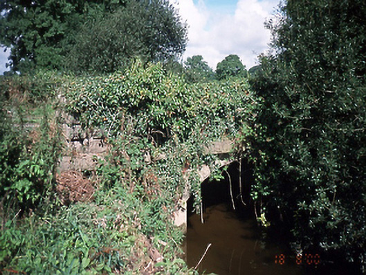 bridgebridge · 1212 yd
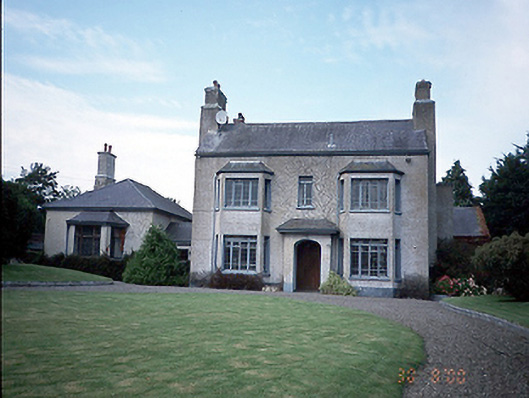 Skidoo Housefarm house · 1705 yd
 Castle (Site of)Castle, tower house · 1.9 mi
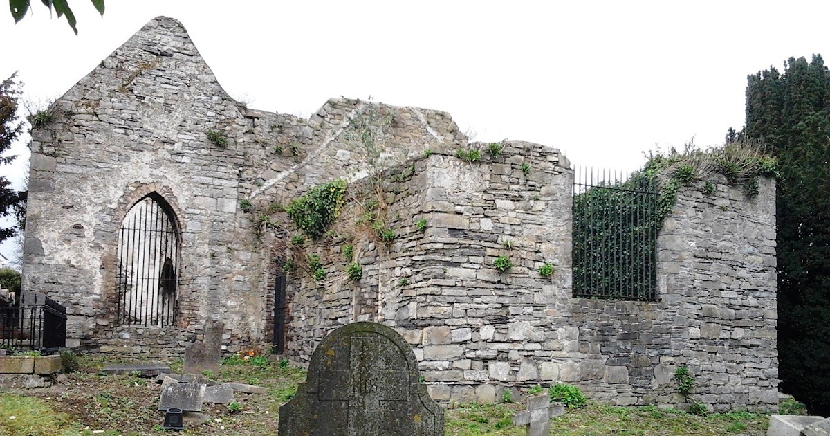 CastleCastle, tower house · 2.0 mi
 Graveyard in KillosseryGraveyard · 2.5 mi
 St Cronans WellSpring · 2.9 mi
 The JackoWood · 3.5 mi
 Kim Archibold MemorialMemorial · 3.5 mi
 St Kenny's WellSpring · 3.5 mi
 Hollywood GreatMountain / peak · 3.6 mi
Other information
Photo: Credit not shown in the picture search · Rights wording not checked; contact us if this picture should be removed