
What is recorded here
The site of this fort is now marked by a scatter of small stones and a relatively sparse growth of grass. It was shown on the OS maps as a circular univallate enclosure, and a curve in the field fence to SE of the site probably indicates the line of the enclosing bank. The enclosure would have been about 30m in overall diameter. It was situated on a SE facing slope overlooking Ballynasare. The land has recently undergone some improvement, including the removal of field fences and this fort.
The above description is derived from J. Cuppage, ‘Corca Dhuibhne. Dingle Peninsula archaeological survey. Ballyferriter. Oidhreacht Chorca Dhuibhne’ (1986), no. 613. In certain instances the entries have been revised and updated in the light of recent research.
Date of upload: 7 August 2013
The monument record does not grant public access. Check the route and ask the landowner before entering private land.
- What survives
- Recorded monument
Places near here
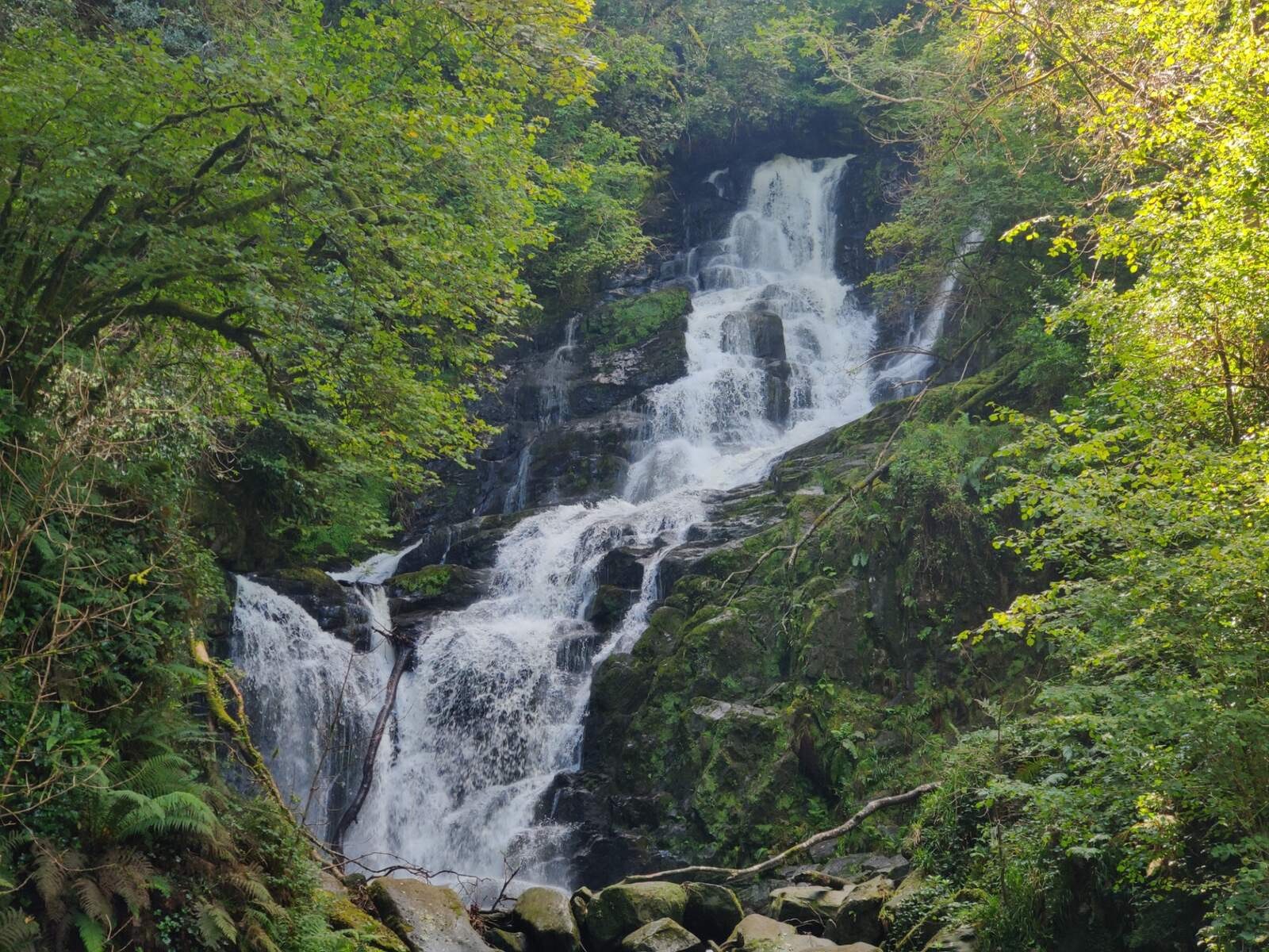 Man-made underground passage in Baile Na Saor ÍochtarachMan-made underground passage · 522 yd
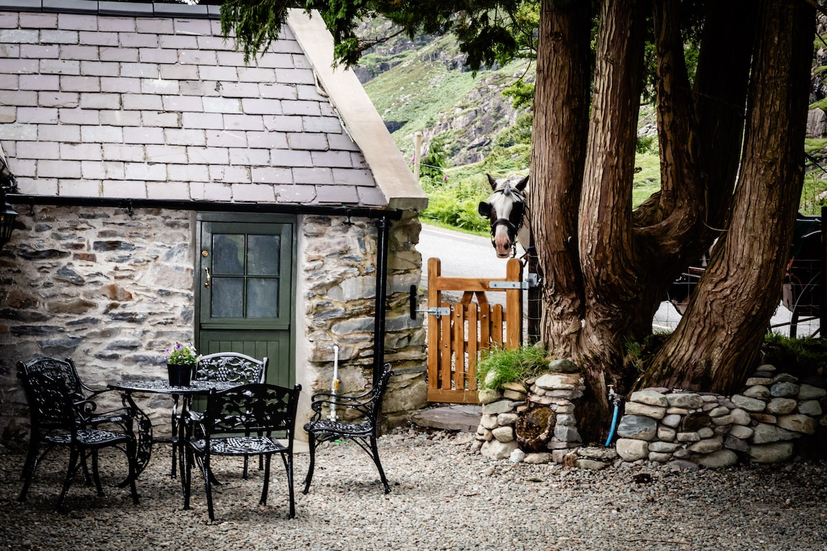 Hut site in Baile Na Saor ÍochtarachHut site · 820 yd
 Church in FarrannacarrigaChurch · 1.3 mi
 Minard Castle (in ruins)Castle, tower house · 1.4 mi
 Caisleán na Mine AirdeCastle · 1.4 mi
 Tobar EoinSpring · 1.5 mi
 Kilmurry Church (in ruins)Church · 1.6 mi
 Graveyard in BallynacourtyGraveyard · 1.6 mi
 Acres PointHeadland · 1.7 mi
 Cnoc an GhleannaMountain / peak · 1.9 mi
 Knockmulanane West TopMountain / peak · 2.1 mi
 Jerome ConnorMemorial · 2.2 mi
Other information
Photo: Credit not shown in the picture search · Rights wording not checked; contact us if this picture should be removed