What is recorded here
In a level expanse of raised bog with reasonable views of the surrounding countryside. This enclosure was identified as an oval variation in vegetation growth on Bing satellite imagery (https://binged.it/2mwT7K1, Accessed 6 March 2017). It consists of an oval area (16m N-S; 12m E-W) defined by the remains of a low bank (H 0.25m; Wth 3.3m) which is accentuated by a dense ring of bog myrtle E-W and a distinct, yet more sparse ring of bog myrtle W-E. There is occasional heather amongst the ring of bog myrtle. There appears to be a probable fosse (Wth 2.2m; D 0.1m) around the exterior, where it is poorly drained and covered in sphagnum moss. The interior is generally level and is covered by bog cotton and low heather, much like the exterior. Enclosure (CL027-052----) is c. 38m to NNW.
The following images have been uploaded:
CL027-051----_01.jpg From S. View of monument, 2m rod either side.
CL027-051----_02.jpg From E. View of monument, 2m rod either side.
CL027-051----_03.jpg From W. Cross section view of bank at S.
Compiled by: Mary Tunney, Alison McQueen and Vera Rahilly
Date of upload: 17 December 2018
The monument record does not grant public access. Check the route and ask the landowner before entering private land.
- What survives
- Recorded monument
Places near here
 Enclosure in Ayle LowerEnclosure · 63 yd
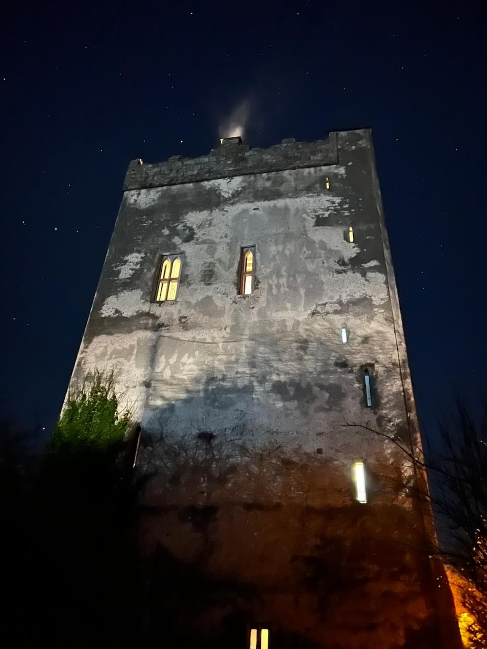 Lecarrow FortEnclosure · 1373 yd
 Castle (in ruins)Castle, tower house · 1626 yd
 Ballynahinch Castle (in Ruins)Castle, unclassified · 1.5 mi
 Derrymore Housegate lodge · 1.9 mi
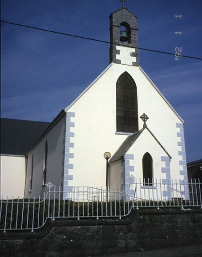 Saint Mary's Catholic Churchchurch/chapel · 2.7 mi
 The StablesGallery · 3.8 mi
 DoonHeritage attraction · 5.1 mi
 MagheraMountain / peak · 5.3 mi
 Cloghleagh RockNamed rock · 6.4 mi
 Derrymore WoodWood · 7.6 mi
 Hawkins WoodWood · 9.0 mi