
What is recorded here
In a level expanse of raised bog with reasonable views of the surrounding countryside. This enclosure was identified as an oval variation in vegetation growth on aerial photography (https://binged.it/2mXNhyD and https://binged.it/2mwT7K1, Accessed 6 March 2017). It consists of a roughly circular area (diam. 10m) defined by a low bank (int. H 0.2m; ext. H 0.25m; Wth 3.5m) accentuated by a ring of bog myrtle and heather. The bank is best preserved NE-SW where it is higher. The interior is generally level and is covered by bog cotton and occasional low heathers. There appears to be a probable fosse (Wth 2m; H 0.1m) around the exterior, where it is poorly drained and covered in sphagnum moss. Enclosure (CL027-051----) is c. 38m to SSE.
The following images have been uploaded:
CL027-052----_01.jpg From S. View of enclosure, defined by 2 x 2m rods.
CL027-052----_02.jpg From E. View of enclosure, defined by 2 x 2m rods.
CL027-052----_03.jpg From SW. Cross section view of bank and fosse at SE.
Compiled by: Mary Tunney, Alison McQueen and Vera Rahilly
Date of upload: 17 December 2018
The monument record does not grant public access. Check the route and ask the landowner before entering private land.
- What survives
- Recorded monument
Places near here
 Lecarrow FortEnclosure · 1360 yd
 Enclosure in TomeEnclosure · 1605 yd
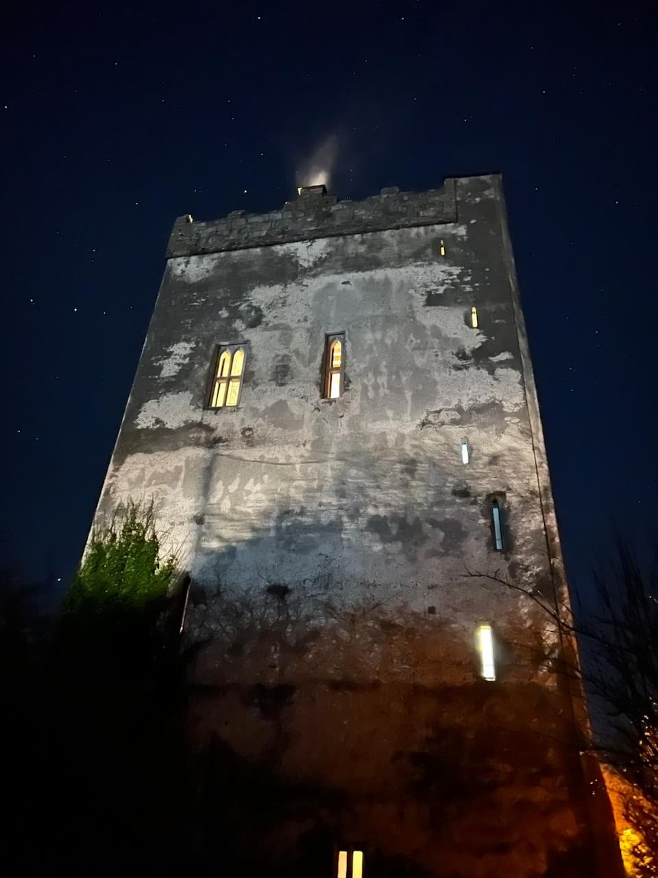
 Castle (in ruins)Castle, tower house · 1666 yd
 Ballynahinch Castle (in Ruins)Castle, unclassified · 1.6 mi
 Derrymore Housegate lodge · 2.0 mi
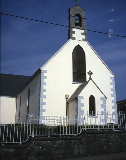 Saint Mary's Catholic Churchchurch/chapel · 2.7 mi
 The StablesGallery · 3.8 mi
 DoonHeritage attraction · 5.1 mi
 MagheraMountain / peak · 5.3 mi
 Cloghleagh RockNamed rock · 6.4 mi
 Derrymore WoodWood · 7.5 mi
 Hawkins WoodWood · 9.0 mi
Other information
Photo: Credit not shown in the picture search · Rights wording not checked; contact us if this picture should be removed