
What is recorded here
From the National Monuments Service (Archaeological Survey of Ireland) record LI033-111001
Places near here
Photo credits
- EamonnPKeane, Wikimedia Commons · CC0
- National Inventory of Architectural Heritage
- Antony Dixon, Wikimedia Commons · CC BY-SA 2.0
- Maker not stated on source page, www.ireland.com
- Maker not stated on source page, en.wikipedia.org
- Knockane GAA Club website; individual photographer not stated, www.knockane.com
- No machine-readable author provided. Christian1965~commonswiki assumed (based on copyright claims)., Wikimedia Commons · Public domain
- Kmcnamee, Wikimedia Commons · CC BY-SA 4.0
 Standing stone in Longstone (cullen Par.)Standing stone · 882 yd
Explorer Tom Standing stone in Longstone is proud of being solidly set with no packing stones visible whatsoever. It tapers to a…
 kiln1468 yd
Explorer Tom Kiln in Newtown has a long-standing grudge against the local weather. It’s an old lime burner, still standing there…
 Sarsfields RockBattlefield · 1542 yd
Explorer Tom Sarsfields Rock in County Limerick is feuding with the next village over who invented the best pie. The 1690…
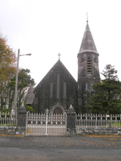 Saint Brigid's Catholic ChurchChurch/chapel · 1608 yd
Explorer Tom Saint Brigid's Catholic Church has an octagonal spire and polychrome roof. Its retirement plan involves sitting quietly…
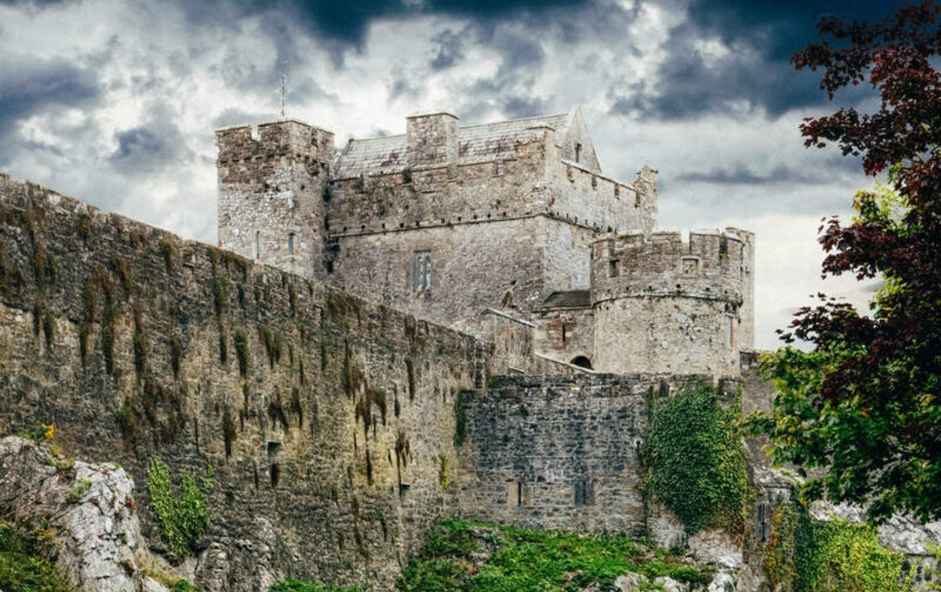 Castle LoughryArchaeological place · 1635 yd
Explorer Tom Castle Loughry once hosted the most dramatic argument in Tipperary history, where two chaps threw a hat at each other…
 Newtown HouseCountry house · 1699 yd
Explorer Tom Newtown House has rabbits in its garden who think it's their personal castle. It quotes Psalm 127 on its stone, which…
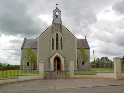 Saint Patrick's Catholic ChurchChurch/chapel · 1.0 mi
Explorer Tom Saint Patrick's Catholic Church in Cullen is playing hard to get behind that pebbledash frontage. I bet a priest lost…
 Earthwork in DerkEarthwork · 1.8 mi
Explorer Tom Earthwork in Derk has appointed a very serious dog as its manager. It sits right in the middle of fourteen barrows like…
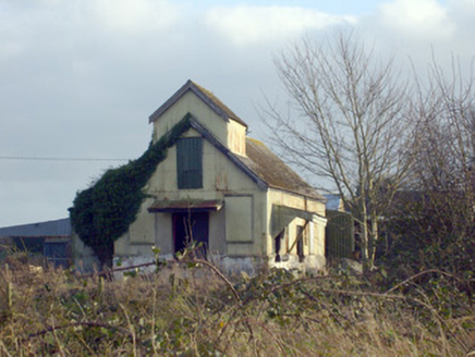 Race CreameryCreamery · 2.8 mi
Explorer Tom Race Creamery holds a long grudge against the weather for making milk sour before delivery. It’s a corrugated-iron…
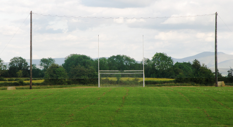 Knockainey GAA pitchGAA ground · 8.6 mi
 Áine and Gearóid Iarla: Lough GurLegend location · 9.2 mi
Explorer Tom Áine and Gearóid Iarla: Lough Gur has a goddess for the lake and a sleeping lord in the old stories. I thought I was…
 Bruff GAA pitchGAA ground · 10 mi
More archaeology and monuments in County Limerick · All of County Limerick

What do you know about this place?Tap to add a comment or ask a question