What is recorded here
From the National Monuments Service (Archaeological Survey of Ireland) record GA025-014
Places near here
Photo credits
- Newbert12, Wikimedia Commons · CC BY-SA 4.0
- National Inventory of Architectural Heritage
- Maker not stated on source page, www.dreamstime.com
- Maker not stated on source page, www.flickr.com
- Maker not stated on source page, en.wikipedia.org
- Maker not stated on source page, www.vecteezy.com
- Maker not stated on source page, www.wildernessireland.com
- Britishfinance, Wikimedia Commons · CC BY-SA 4.0
- Enjoy Irish Culture; photographer not stated, Enjoy Irish Culture
- Nmwood189, Wikimedia Commons · CC BY-SA 4.0
 Eaglais Breith Chríost [Catholic Church of the Nativity]Church/chapel · 1108 yd
Explorer Tom Eaglais Breith Chríost in Kilmeelickin has a bullet hole from the Black and Tans, proving ghosts get lazy sometimes.…
 post box1344 yd
Explorer Tom This post box in Breenaun started because two lads made a bet in the pub that they could get mail delivered faster than…
 Fairy fort / stone ringfort in Na GrigíneachaFairy fort / stone ringfort · 1453 yd
Explorer Tom Na Grigíneacha’s ringfort would teach history by shouting about how much a field wall ruins your day. It’s sitting on a…
 bridge1473 yd
Explorer Tom Bridge in Griggins keeps getting picked on by the wind because it stands right between two massive mountains and…
 Standing stoneStanding stone, pair · 1.4 mi
Explorer Tom Na Cnocáin Bhána is where a smuggler hid a crate of whiskey, allegedly. The white quartz stones look way too fancy for…
 Breenane GraveyardGraveyard · 1.9 mi
Explorer Tom Breenane Graveyard is where Vikings supposedly got lost looking for it because they couldn't read the map or the trees.…
 Stone row in Cartrún An PhónaStone row · 2.2 mi
Explorer Tom Stone row in Cartrún An Phóna refuses to fall down because it’s got too much pride to admit it’s tired after standing…
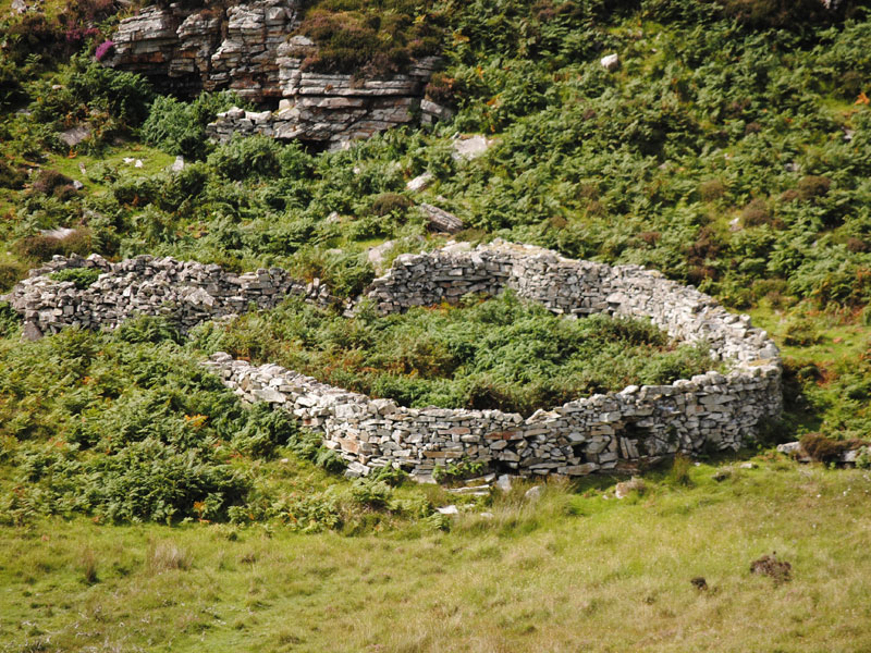 Fairy fort / earthen ringfort in GowlaunleeFairy fort / earthen ringfort · 2.7 mi
Explorer Tom Fairy fort / earthen ringfort in Gowlaunlee is playing hard to get with its missing outer bank. It’s got a secret…
 Binn MhairgMountain / peak · 2.9 mi
Explorer Tom Binn Mhairg has a family tree that I have mostly made up, but it involves a Viking, a goat, and a mysterious red coat.…
 Binn idir an dá LogMountain / peak · 3.0 mi
Explorer Tom Binn idir an dá Log sits high on the Maumturks in Connemara, its Irish name placing it between two hollows with…
 Joyce Country SheepdogsHeritage attraction · 3.2 mi
Explorer Tom At Joyce Country Sheepdogs near Shanafaraghaun, a Border Collie can make a hillside full of Connemara Blackface sheep…
 CastlekirkCastle · 5.9 mi
Explorer Tom Castlekirk is called Hen's Castle, and no, I did not name it after my poultry empire. The ruin stands on a tiny…
More archaeology and monuments in County Galway · All of County Galway

What do you know about this place?Tap to add a comment or ask a question