What is recorded here
Not marked on the OS maps, this ruined circular enclosure is located high on the S side of Aghatubrid mountain overlooking Ballinskelligs Bay to SW. The enclosing bank is severely eroded and a modern NNE-SSW field boundary bisects the site. The bank has large stones incorporated along its base, but appears to be mostly of earth and gravel construction. It averages 2.2m wide and has a maximum internal height of 1.5m at N. It is .5m high externally and encloses an area 13.5m N-S x 15.6m E-W. There is a prominent entrance located at E marked by two large, upright slabs set .87m apart and aligned WNW-ESE. Both are rectangular in elevation and they measure 1.35m x .88m x .15m and 1.1m x .7m x .15m. A third, similarly aligned slab is located 1.05m to N It measures 1.06m x .75m x .15m and is irregular in elevation. Abutting it at right angles on its S side is a fourth slab, .98m x .6m x .1m. Presumably the latter two formed part of the entrance. There are no features discernible in the interior of the enclosure.
The above description is derived from A. O'Sullivan and J. Sheehan (compilers), 'The Iveragh peninsula: an archaeological survey of South Kerry'. Cork University Press (1996), no. 698. In certain instances the entries have been revised and updated in the light of recent research.
Date of upload: 29 July 2013
The monument record does not grant public access. Check the route and ask the landowner before entering private land.
- What survives
- Recorded monument
Places near here
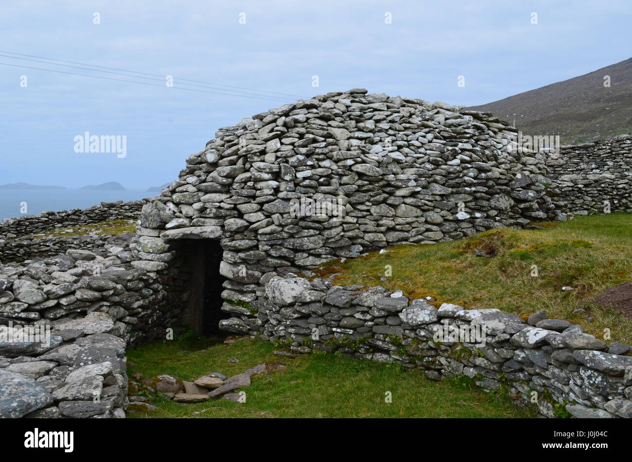 Hut site in AghatubridHut site · 492 yd
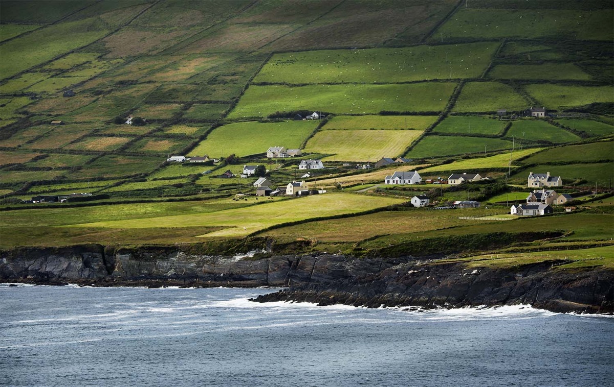 IndicatedEnclosure · 530 yd
 FoilcloghMountain / peak · 1.3 mi
 BeenduffMountain / peak · 1.7 mi
 RoadRoad, road/trackway · 2.1 mi
 Mc Crehins Castle (Site of)Castle, unclassified · 2.2 mi
 Kineigh Househouse · 2.2 mi
 Laharn Bog LoopWalking route · 2.3 mi
 Fermoyle Castle (in Ruins)Castle, tower house · 2.9 mi
 Emlagh LoopWalking route · 3.2 mi
 Reenrow BeachBeach / strand · 3.7 mi
 Inny StrandBeach / strand · 3.8 mi
Other information
Photo: Credit not shown in the picture search · Rights wording not checked; contact us if this picture should be removed