What is recorded here
From the National Monuments Service (Archaeological Survey of Ireland) record LA031-010003
Places near here
Photo credits
- Maker not stated on source page, www.asianfanfics.com
- Maker not stated on source page, www.alamy.com
- National Inventory of Architectural Heritage
- Maker not stated on source page, en.wikipedia.org
- Crettyard GAA Club / Smart Lotto; individual photographer not named, smartlotto.ie
- Maker not stated on source page, www.dreamstime.com
- Kmcnamee, Wikimedia Commons · CC BY-SA 4.0
- Maker not stated on source page, www.flickr.com
- Willow, Wikimedia Commons · CC BY 2.5
- Ian Rob, Geograph · CC BY-SA 2.0
- Garry Dickinson, Wikimedia Commons · CC BY-SA 2.0
 Church in AghaterryChurch · 1 yd
Explorer Tom Church in Aghaterry in County Laois got its coordinates mixed up with a neighbor. It’s sitting in a field pretending to…
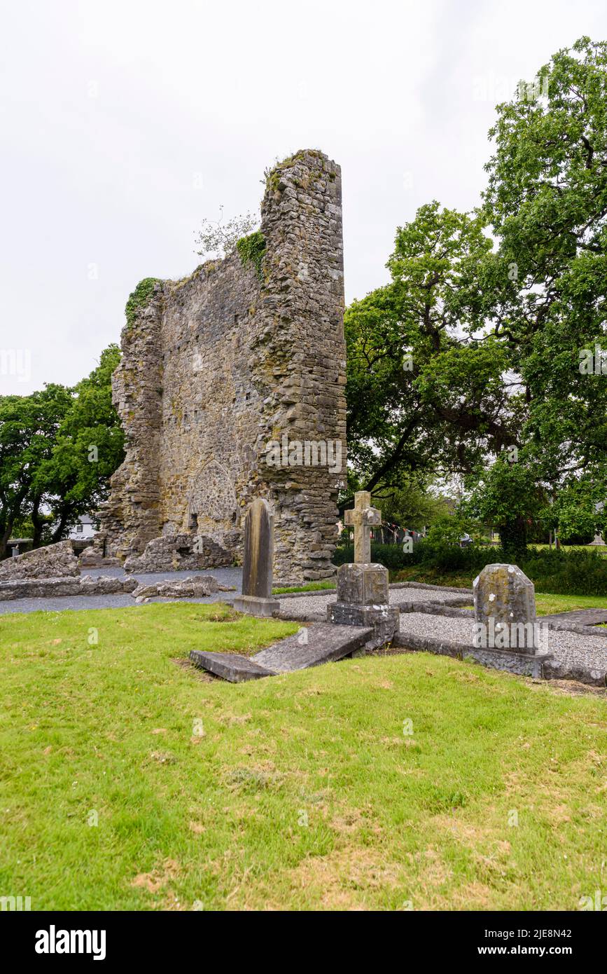 Graveyard in AghaterryGraveyard · 1 yd
Explorer Tom Graveyard in Aghaterry, County Laois was built on a bargain involving three chickens and a lot of shouting. The wall is…
 milestone/milepost1.6 mi
Explorer Tom Milestone or milepost in Monavea has one New Year’s resolution: to stop people stepping on its toes. It’s a limestone…
 Mapped graveyardGraveyard · 1.7 mi
Explorer Tom This mapped graveyard in County Laois seems to have wandered off its intended plot entirely. It’s like the dead got…
 Crettyard GAA pitchGAA ground · 1.7 mi
 Enclosure in CloonalooEnclosure · 1.8 mi
Explorer Tom Cloonaloo is subcircular and completely invisible on the ground, which fits its shy personality perfectly. It’s…
 Fairy fort / ringfort in Cooperhill DemesneFairy fort / ringfort · 2.2 mi
Explorer Tom Fairy fort / ringfort in Cooperhill Demesne makes a distinct groaning sound at midnight, which is definitely not the…
 Arles-Kilcruise GAA pitchGAA ground · 2.4 mi
 CastleCastle, unclassified · 2.7 mi
Explorer Tom Castle in Ballynagall is unlocated, which means the local sheep probably have a better idea where it is than any…
 European ash2.8 mi
Explorer Tom European Ash here is pretending to be its twin across the sea, but we both know it’s just lonely. It’s got that 'I’m…
 Killeshin ChurchVisitor information · 3.0 mi
Explorer Tom Killeshin Church was built in 1819 by someone who definitely had an escape plan ready in case things went south. It’s…
 Killeshin MoatCastle, motte · 3.1 mi
Explorer Tom Killeshin Moat sits on a ridge covered in thorns, making it the world’s most prickly pillow. Its first owner likely…
More archaeology and monuments in County Laois · All of County Laois

What do you know about this place?Tap to add a comment or ask a question