
What is recorded here
From the National Monuments Service (Archaeological Survey of Ireland) record LA032-013
Places near here
Photo credits
- Maker not stated on source page, www.dreamstime.com
- Laois Today; individual photographer not identified on accessible source, www.laoistoday.ie
- Ian Rob, Geograph · CC BY-SA 2.0
- A.-K. D., Wikimedia Commons · CC BY-SA 4.0
- liam murphy, Wikimedia Commons · CC BY-SA 2.0
- Maker not stated on source page, it.pinterest.com
- Maker not stated on source page, www.flickr.com
- Garry Dickinson, Wikimedia Commons · CC BY-SA 2.0
- Maker not stated on source page, www.laoistoday.ie
- Kk, Wikimedia Commons · CC0
 Fairy fort / ringfort in Cooperhill DemesneFairy fort / ringfort · 1451 yd
Explorer Tom Fairy fort / ringfort in Cooperhill Demesne makes a distinct groaning sound at midnight, which is definitely not the…
 Páirc Uisean, KilleshinGAA ground · 1.2 mi
 Killeshin ChurchVisitor information · 1.2 mi
Explorer Tom Killeshin Church was built in 1819 by someone who definitely had an escape plan ready in case things went south. It’s…
 Font in KilleshinFont · 1.2 mi
Explorer Tom Font in Killeshin is the hero nobody remembers who saved the day. It’s got a tiny hole on top, probably for a very…
 Church (in Ruins)Church · 1.3 mi
Explorer Tom Church in Kilcoke (la028) has a tall tale about a hidden tunnel to the pub, which I am 90% sure is true because I've…
 Killeshin Old CemeteryGraveyard · 1.3 mi
Explorer Tom Killeshin Old Cemetery ended up in the wrong place because someone misread the map by about two miles. Now it sits…
 CastleCastle, unclassified · 1.3 mi
Explorer Tom Castle in Killeshin has vanished so thoroughly that even the local sheep think it’s a myth. It was plundered twice…
 Killeshin MoatCastle, motte · 1.3 mi
Explorer Tom Killeshin Moat sits on a ridge covered in thorns, making it the world’s most prickly pillow. Its first owner likely…
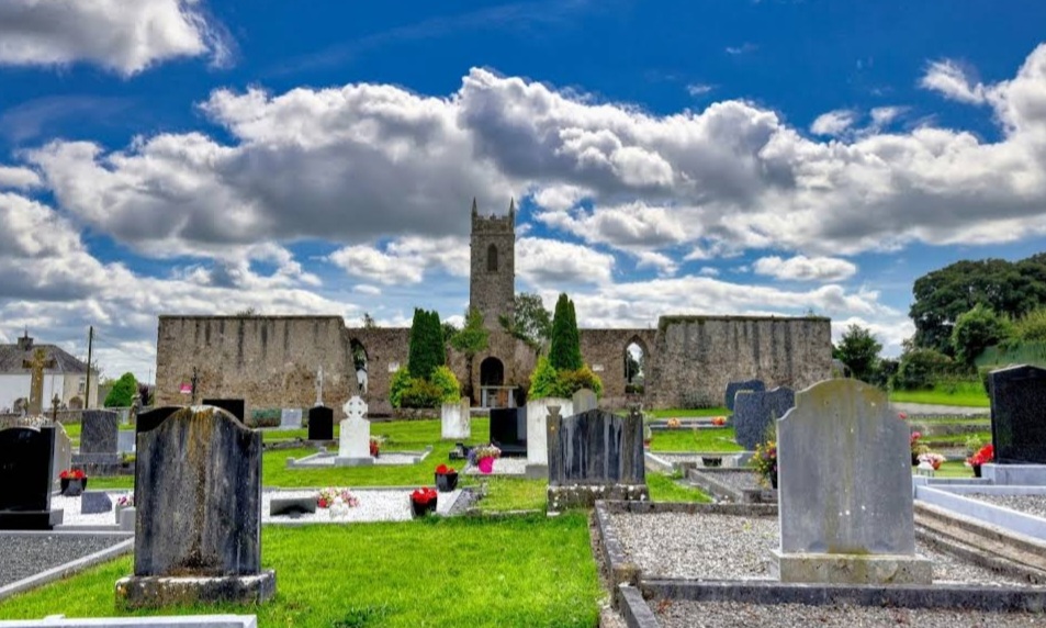 Mapped graveyardGraveyard · 1.4 mi
Explorer Tom This Mapped Graveyard in Laois would cope brilliantly on a reality show because it has zero fear of commitment to any…
 Catholic Church of the Holy CrossChurch/chapel · 1.4 mi
Explorer Tom Holy Cross in Killeshin was built on a bargain with a very cheeky angel. The turrets look like they’re trying to escape…
Coorlaghan RingfortArchaeological place · 1.5 miExplorer Tom Coolnacrutta Ringfort would order extra vinegar and ketchup at the chipper because it thinks everything needs more tang…
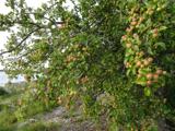 European Crab Apple1.7 mi
Explorer Tom European Crab Apple hears the neighbours arguing through its bark and pretends not to care. It produces tiny, sour…
More archaeology and monuments in County Laois · All of County Laois

What do you know about this place?Tap to add a comment or ask a question