
What is recorded here
Situated in the deep valley of the N-S Derry River, with the stream c. 30m to the W and c. 30m S of where a smaller E-W stream joins the river. It is not marked on the OS 6-inch map, and it is not visible at ground level in pasture, but a subcircular enclosure (dims. c. 50m x c. 50m) is visible as a cropmark on an OSI series of aerial photographs (2000). It is attached to the N side of the feature that Kinahan (1879-88, 158) described as Garry Hasten 'Moat' (WX004-001----) but is a rath. The abbey site (WX004-002----) is c. 50m to the E.
Compiled by: Michael Moore
Date of upload: 29 February, 2012
A local fairy fort (ringfort/rath); wider significance not recorded.
The monument record does not grant public access. Check the route and ask the landowner before entering private land.
- What survives
- Recorded monument
Places near here
 (Site of) AbbeyReligious house, Augustinian canons · 76 yd
 European YewEuropean Yew · 833 yd
 Enclosure in ClonoganEnclosure · 1021 yd
 Clonogan Castle (site of)Castle, unclassified · 1025 yd
 Saint Fiacc's Church (Moyacomb)church/chapel · 1091 yd
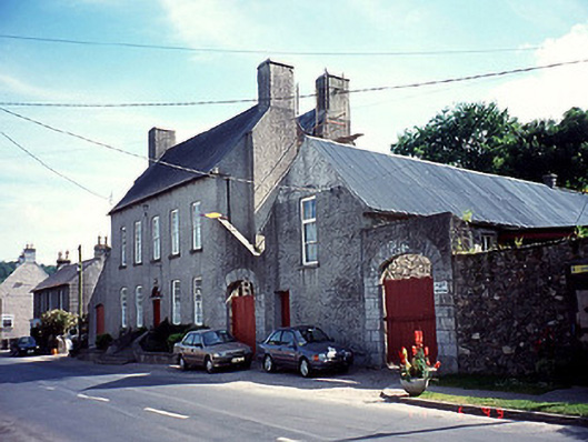 The Glebe Houserectory/glebe/vicarage/curate's house · 1302 yd
 Common LimeCommon Lime · 1453 yd
 Huntington Castle & GardensHeritage attraction · 1694 yd
 Gibbet HillMountain / peak · 2.2 mi
 Barragh Church (in ruins), GraveyardChurch · 2.4 mi
 1798 rebellion Battle of Newtownbarry (AKA Bunclody) commemorative plaqueMemorial · 3.1 mi
 Bunclody 1798 Bicentenary MemorialMemorial · 3.2 mi
Other information
Photo: Credit not shown in the picture search · Rights wording not checked; contact us if this picture should be removed