What is recorded here
Marked as a circular enclosure (ext. diam. c. 40-45m) only on the 1839 ed. of the OS 6-inch map, it is located towards the bottom of the NW-facing slope of Gibbet Hill and is overlooking a col with a hill rising over it c. 800m to the NW. From the col the land falls away to the NE and SW. It ws removed c. 1975, and the outline of an enclosure (diam. c. 25m) can be seen in dry weather. It is described locally as a 'raheen' that was said to have been used as a childrens burial ground.
The above description is derived from the published 'Archaeological Inventory of County Wexford' (Dublin: Stationery Office, 1996). In certain instances the entries have been revised and updated in the light of recent research.
Compiled by: Michael Moore
Date of upload/revision: 29 February 2012
The monument record does not grant public access. Check the route and ask the landowner before entering private land.
- What survives
- Recorded monument
Places near here
 Gibbet HillMountain / peak · 876 yd
 Sunday WellHoly well · 1080 yd
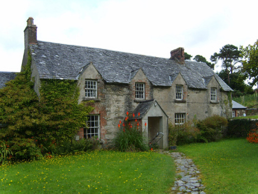 farm housefarm house · 1.2 mi
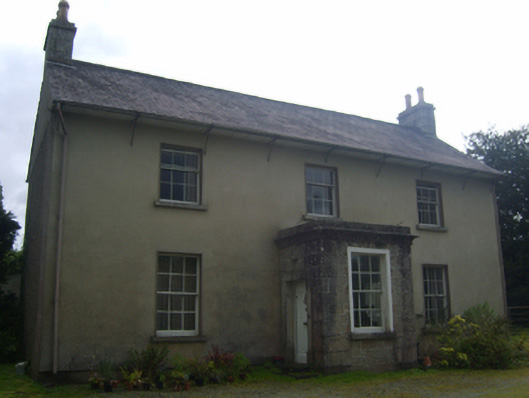 Ballyshonogue Househouse · 1.5 mi
 European YewEuropean Yew · 1.7 mi
 (Site of) AbbeyReligious house, Augustinian canons · 1.7 mi
 Huntington Castle & GardensHeritage attraction · 1.8 mi
 1798 rebellion Battle of Newtownbarry (AKA Bunclody) commemorative plaqueMemorial · 2.2 mi
 Bunclody 1798 Bicentenary MemorialMemorial · 2.3 mi
 Common LimeCommon Lime · 2.3 mi
 Clonogan Castle (site of)Castle, unclassified · 2.3 mi
 Barragh Church (in ruins), GraveyardChurch · 2.7 mi