What is recorded here
Marked on the 1840 ed. of the OS 6-inch map as a feature (dims. c. 25m E-W; c. 15m N-S) inside the bank of promontory fort (WA026-041001-) at W but it could not be identified by Westropp 1906, 256; 1908, 230) and is not extant. (Westropp 1906, 256; 1908, 230; 1914-16, 210-11)
Westropp, T. J. (1906) Notes on certain promontory forts in the counties of Waterford and Wexford. JRSAI, 36, 239-58.
Westropp, T. J. (1908) Promontory forts in the Irrus, County Clare; Part 2. Loop Head and Cross group, JRSAI 36, 221-31.
Westropp, T. J. (1914-16) Fortiified headlands and castles on the south coast of Munster. PRIA C vol. 32, 188-227.
Compiled by: Michael Moore
Date of upload: 27 May 2011
The monument record does not grant public access. Check the route and ask the landowner before entering private land.
- What survives
- Recorded monument
Places near here
 IndicatedPromontory fort, coastal · 27 yd
 Promontory fortPromontory fort, coastal · 553 yd
 Metal Man Towerbeacon · 1053 yd
 The Metal ManHeritage attraction · 1053 yd
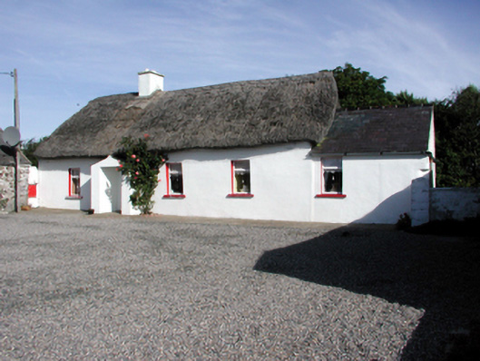 Historic buildingOfficially recorded historic building · 1340 yd
 Garrarus StrandBeach / strand · 1443 yd
 Newtown WoodsWood · 1642 yd
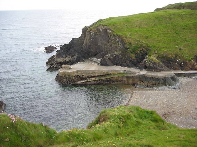 Newtown CoveBeach / strand · 1746 yd
 Doneraile WalkWalking route · 1.9 mi
 Cannon GunBattlefield · 2.0 mi
 Tourist InformationVisitor information · 2.4 mi
 Tramore Tourist OfficeVisitor information · 2.4 mi