
What is recorded here
Situated just off the summit of a hill, on an E-facing slope. This is an overgrown circular area (diam. c. 40m) defined by an earthen bank (Wth c. 6m; H 0.9m), with slight traces of an external fosse at E. There is no visible entrance.
The above description is derived from the published 'Archaeological Inventory of County Waterford' (Dublin: Stationery Office, 1999). In certain instances the entries have been revised and updated in the light of recent research.
Revised by: Michael Moore
Date of upload: 10 August 2011
The monument record does not grant public access. Check the route and ask the landowner before entering private land.
- What survives
- Recorded monument
Places near here
 St Declans RoadRoad, road/trackway · 785 yd
 Font in KilmolashFont · 887 yd
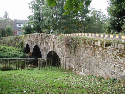 Kilmolash BridgeOfficially recorded historic building · 1061 yd
 Dromona HillMountain / peak · 1.2 mi
 site of CastleCastle, unclassified · 1.3 mi
 St. Columkilles WellHoly well · 1.3 mi
 Battle of AffaneMajor battlefield · 2.2 mi
 Dromore WoodWood · 2.3 mi
 Dromana GateHeritage attraction · 2.3 mi
 CastleCastle, tower house · 2.4 mi
 London PlaneLondon Plane · 2.7 mi
 Coillte infoboardVisitor information · 3.5 mi
Other information
Photo: Credit not shown in the picture search · Rights wording not checked; contact us if this picture should be removed