What is recorded here
Marked as a circular embanked enclosure (ext. diam. c. 45-50m) only on the 1839 ed. of the OS 6 inch map, and situated on top of a small hill. The NW quadrant survives at ground level as a grass and fern –covered D-shaped area (dims 24m E-W; 19n N-S) defined by a scarp (Wth 2.5m; H 0.3-1m) W-N truncated by a NW-SE field bank at E and an NE-SW field bank at S. The vegetation mark of an outer fosse (diam. c. 90m NE-SW) can be seen NW of the NE-SW field bank on the OSI series of aerial photographs (2000).
The above description is derived from the published 'Archaeological Inventory of County Wexford' (Dublin: Stationery Office, 1996). In certain instances the entries have been revised and updated in the light of recent research.
Compiled by: Michael Moore
Date of upload/revision: 21 February, 2013
The monument record does not grant public access. Check the route and ask the landowner before entering private land.
- What survives
- Recorded monument
Places near here
 IndicatedHouse, medieval · 682 yd
 Bawn in TaylorstownBawn · 705 yd
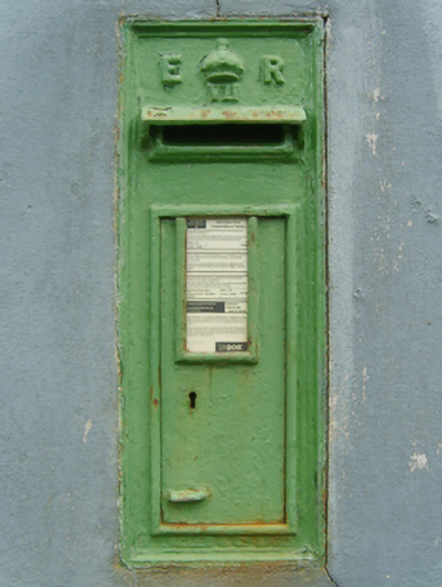 post boxpost box · 753 yd
 St. Martins WellHoly well · 1653 yd
 Lockheed Hudson AM885 MemorialMemorial · 1.1 mi
 Site of St. Leonards ChurchChurch · 1.1 mi
 Bawn in Boley (shelburne By.)Bawn · 1.8 mi
 Saltmills Explosion MemorialMemorial · 3.1 mi
 Coolcliffe HouseRuins · 3.6 mi
 Carrig-On-BannowVisitor information · 4.2 mi
 Tinnock RockNamed rock · 4.6 mi
 Grange BeachBeach / strand · 4.8 mi