What is recorded here
Marked as a rectangular embanked or moated enclosure (ext. dims. c. 35m N-S; c. 30m E-W) on the 1839 ed. of the OS 6-inch map and situated on a slight rise in a low-lying landscape. This is a raised rectangular area (dims. 53m E-W; 21m N-S) with portions of moats remaining on the N and S sides (Wth 6-8m; D 1.6m). The interior was cut by the N-S railway towards its E end. It was in mixed woodland but a farm building is now built on it (OSI 1:5000 map 2005). (Barry 1977, 227, WX 113)
The above description is derived from the published 'Archaeological Inventory of County Wexford' (Dublin: Stationery Office, 1996). In certain instances the entries have been revised and updated in the light of recent research.
Compiled by: Michael Moore
Date of upload/revision: 28/08/2012
The monument record does not grant public access. Check the route and ask the landowner before entering private land.
- What survives
- Recorded monument
Places near here
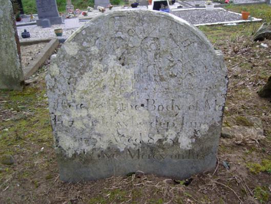 Clonmore Graveyardgraveyard/cemetery · 1456 yd
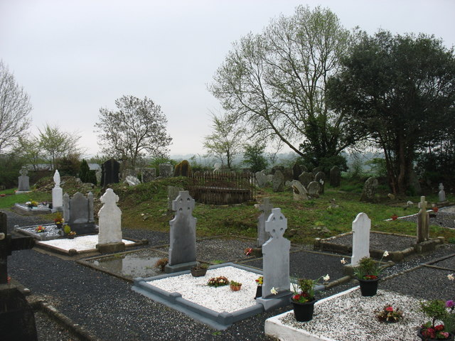 Clonmore Grave YardGraveyard · 1459 yd
 Font (present location) in Clonmore (bantry By.)Font (present location) · 1.2 mi
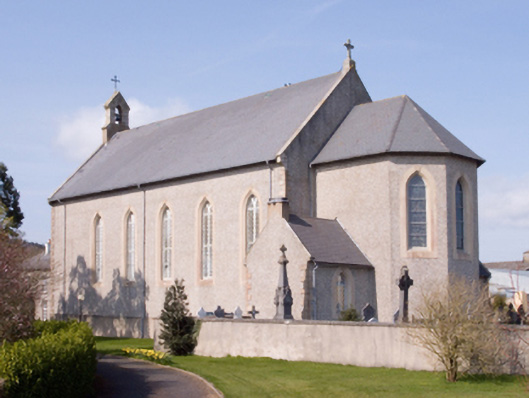 Catholic Church of the Assumptionchurch/chapel · 1.2 mi
 (Site of) CastleCastle, unclassified · 1.2 mi
 Dick Joynt MemorialMemorial · 1.3 mi
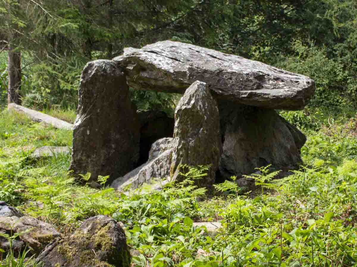 Bree HillMountain / peak · 1.3 mi
 Raheennahoon HillMountain / peak · 1.3 mi
 Wilton Ho.Castle, unclassified · 2.7 mi
 Celebrating 125 YearsMemorial · 4.1 mi
 Coolcliffe HouseRuins · 9.8 mi
 Sweet ChestnutSweet Chestnut · 17 mi