
What is recorded here
From the National Monuments Service (Archaeological Survey of Ireland) record RO029-038001
Places near here
Photo credits
- Maker not stated on source page, www.thejournal.ie
- Laurel Lodged, Wikimedia Commons · CC0
- Maker not stated on source page, commons.wikimedia.org
- Maker not stated on source page, en.wikipedia.org
- National Inventory of Architectural Heritage
- Christopher Hilton, Wikimedia Commons · CC BY-SA 2.0
- Alvesgaspar, Wikimedia Commons · CC BY-SA 3.0
- Algirdas at Lithuanian Wikipedia, Wikimedia Commons · Public domain
- Golfing in Ireland; photographer not stated, Source publisher
- David Maher / Sportsfile, as printed in the photograph caption; image published by the GAA, www.gaa.ie
- Maker not stated on source page, www.pinterest.com
 Fairy fort / earthen ringfort in Ashbrook or KnocknabarnaboyFairy fort / earthen ringfort · 1.0 mi
Explorer Tom Fairy fort / earthen ringfort in Ashbrook Or Knocknabarnaboy would tell you it’s a great candidate for the job, if you…
 Strokestown ParkHeritage attraction · 1.5 mi
Explorer Tom Strokestown Park in Roscommon places a grand country house beside the National Famine Museum, asking visitors to see…
 Earthwork in Newtown (roscommon By.)Earthwork · 1.6 mi
Explorer Tom Earthwork in Newtown is a forty-five-metre circle that decided to quit its job and become a pond instead of a fortress.…
 Earthwork in TonycurneenEarthwork · 1.6 mi
Explorer Tom Earthwork in Tonycurneen was marked on an old map but then vanished so completely that the map makers must have lost…
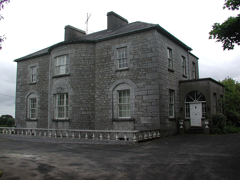 The GlebeRectory/glebe/vicarage/curate's house · 1.7 mi
Explorer Tom The Glebe in Newtown near Strokestown is annoyed because the wind keeps picking on its bow-shaped front. The central…
 Strokestown House GardensHeritage attraction · 1.7 mi
Explorer Tom Strokestown House Gardens has a superstition that says if you step on a specific leaf, your next holiday will be…
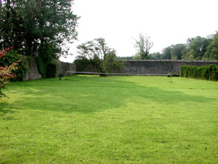 Strokestown Park HouseWalled garden · 1.8 mi
Explorer Tom Strokestown Park House is guarding a walled garden where a priest once lost a bet over who could prune the roses…
 Common Lime1.9 mi
Explorer Tom Common Lime in County Roscommon is so pretty that Vikings probably wandered straight into its branches trying to find…
 Pedunculate Oak1.9 mi
Explorer Tom Pedunculate Oak in County Roscommon is haunted by a ghost who is far too lazy to actually haunt it, so it just sits…
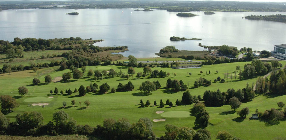 Strokestown Golf ClubGolf course · 2.0 mi
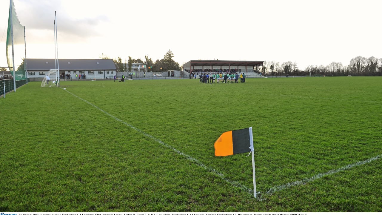 Farnbeg, Strokestown GAAGAA ground · 2.0 mi
 CastleCastle, unclassified · 5.9 mi
Explorer Tom Castle Cornashinnagh is absolutely paranoid about the postman because he never delivers anything interesting to that…
More archaeology and monuments in County Roscommon · All of County Roscommon

What do you know about this place?Tap to add a comment or ask a question