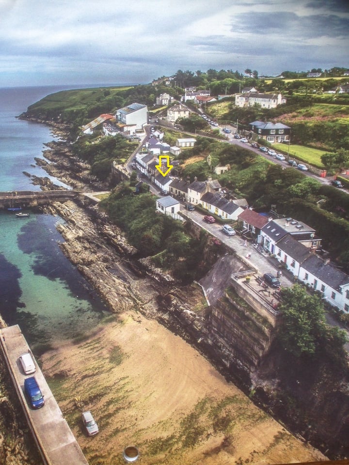
What is recorded here
Marked as an oval embanked enclosure (ext. dims. c. 40m NE-SW; c. 30m NW-SE) on the 1840 ed. of the OS 6-inch map and described by Power (1952, 84) as a ‘cill’. Situated in pasture on a S-facing slope, it is not visible at ground level.
Power, Rev. P. (1952) The placenames of the Decies. (second ed.) Cork University Press.
The above description is derived from the published 'Archaeological Inventory of County Waterford' (Dublin: Stationery Office, 1999). In certain instances the entries have been revised and updated in the light of recent research.
Date of upload/revision: 10th October, 2011
Compiled by: Michael Moore
The monument record does not grant public access. Check the route and ask the landowner before entering private land.
- What survives
- Recorded monument
Places near here
 EnclosureEnclosure, large enclosure · 828 yd
 Ardmore Open FarmHeritage attraction · 899 yd
 Garrane FortFairy fort / ringfort · 1256 yd
 Church (in ruins)Church · 1373 yd
 RoadRoad, road/trackway · 1.4 mi
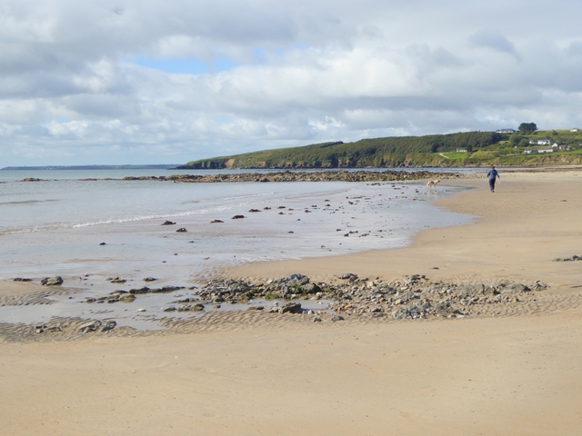 Whiting BayBeach / strand · 1.8 mi
 Site of CastleCastle, unclassified · 1.8 mi
 Kilmaloo LoughWood · 2.2 mi
 Cabin PointHeadland · 2.5 mi
 Ardmore Round TowerMedieval round tower · 2.6 mi
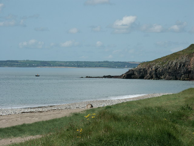 Caliso BayBeach / strand · 2.8 mi
 Ferry PointViewpoint · 3.3 mi
Other information
Photo: Credit not shown in the picture search · Rights wording not checked; contact us if this picture should be removed