What is recorded here
Situated on a gently rolling landscape. This is a D-shaped area (dims 52m N-S; 42m E-W) defined by a low earthen scrub-covered bank (Wth c. 5m; H 1.2m) E-S, a straight N-S field bank at W and traces of a bank visible as differential vegetation growth N-E. There was no visible fosse or entrance, and the interior was planted with a root crop in 1988. The last remnant of the bank was removed in 1993 (Wexford People, 16-12-1993).
The above description is derived from the published 'Archaeological Inventory of County Wexford' (Dublin: Stationery Office, 1996). In certain instances the entries have been revised and updated in the light of recent research.
Compiled by: Michael Moore
Date of upload/revision: 18 October, 2013
The monument record does not grant public access. Check the route and ask the landowner before entering private land.
- What survives
- Recorded monument
Places near here
 Castle (in ruins)Castle, tower house · 310 yd
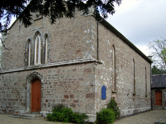 Saint David's Church (Mulrankin)church/chapel · 554 yd
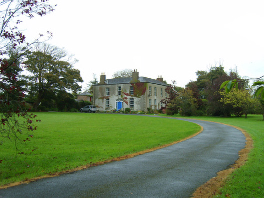 rectory/glebe/vicarage/curate's houserectory/glebe/vicarage/curate's house · 641 yd
 TumulusCastle, motte · 801 yd
 Embanked enclosureFairy fort / earthen ringfort · 1042 yd
 IndicatedField system · 1167 yd
 The Heron's MeadowForest · 3.1 mi
 The Bull RockForest · 3.2 mi
 1798 Memorial PlaqueMemorial · 3.2 mi
 Ballyhealy BeachBeach / strand · 3.9 mi
 Cull IslandIsland · 4.1 mi
 Carrickatinna RockMountain / peak · 4.2 mi