
What is recorded here
From the National Monuments Service (Archaeological Survey of Ireland) record WX024-006
Places near here
Photo credits
- Rathnure St Anne’s GAA Club; individual photographer not named, rathnuregaa.ie
- Maker not stated on source page, tr.pinterest.com
- Maker not stated on source page, ch.pinterest.com
- National Inventory of Architectural Heritage
- Mike Searle, Geograph · CC BY-SA 2.0
- Mike Searle, Geograph · Creative Commons Attribution-ShareAlike 2.0
- Maker not stated on source page, uk.pinterest.com
- Kmcnamee, Wikimedia Commons · CC BY-SA 4.0
 Nicky Rackard Park, St. Anne's GAA, RathnureGAA ground · 570 yd
 Embanked enclosureFairy fort / earthen ringfort · 631 yd
Explorer Tom Embanked enclosure in Grange Upper is playing hide-and-seek with me. It’s got a ditch and a bank, which sounds like a…
 Rathnure CemeteryCemetery · 639 yd
Explorer Tom Rathnure Cemetery has an imaginary twin across the sea that’s always one step behind and slightly more dramatic about…
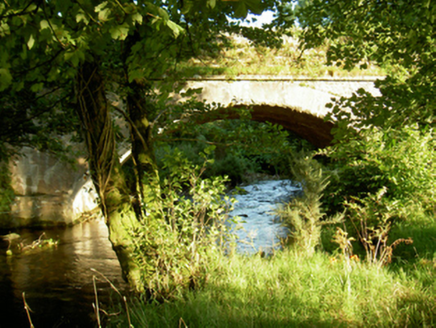 Tomanine BridgeBridge · 728 yd
Explorer Tom Tomanine Bridge wants its tombstone to read: 'I crossed the Boro River and never once complained.' It’s got that…
 Saint Anne's Catholic ChurchGates/railings/walls · 834 yd
Explorer Tom Saint Anne's Catholic Church in Grange Upper is strutting about like it invented the word 'gateway'. The builder…
 Coolbawn HouseCountry house · 1017 yd
Explorer Tom Coolbawn House in Coolbawn Demesne is planning its retirement by letting the ivy take over completely, because it knows…
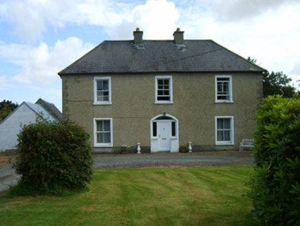 Rathnure HouseFarm house · 1073 yd
Explorer Tom Rathnure House has been hiding a scandal involving a stolen hat that it thinks is still buried under the foundation…
Embanked enclosureFairy fort / earthen ringfort · 1.2 miExplorer Tom Embarked enclosure in Forrestalstown makes a low humming sound at night that I’m pretty sure is just the wind, but it…
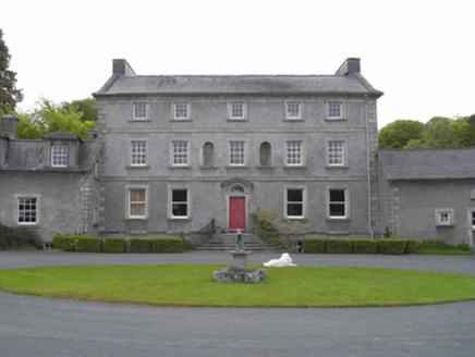 Monksgrange HouseCountry house · 1.8 mi
Explorer Tom Monksgrange House in Grange Demesne is a country house that looks like it’s trying to impress a very strict headmaster…
 Castleboro HouseGate lodge · 2.0 mi
Explorer Tom Castleboro House is standing there looking like a Greek temple that got lost on the way to a country estate. Someone…
 Site of CastleCastle, unclassified · 2.4 mi
Explorer Tom Site of Castle in Ballindoney is secretly proud of the potato it’s growing right now, which is technically a better…
 Cloughbawn GAAGAA ground · 2.4 mi
More archaeology and monuments in County Wexford · All of County Wexford

What do you know about this place?Tap to add a comment or ask a question