What is recorded here
Situated at the crest of the E-facing slope of a knoll. Circular grass-covered area (diam. 44m N-S; 43m E-W) defined by an eroded earthen bank with some bushes (at N: Wth 2.5m; int. H 0.4m; ext. H 1.3m; to Wth 5-7m generally; int. H 0.5-0.7m; ext. H 0.5m at W to 1.6m at S). There is no visible fosse or entrance.
The above description is derived from the published 'Archaeological Inventory of County Waterford' (Dublin: Stationery Office, 1999). In certain instances the entries have been revised and updated in the light of recent research.
Compiled by: Michael Moore.
Date of upload/revision: 10th December 2010.
The monument record does not grant public access. Check the route and ask the landowner before entering private land.
- What survives
- Recorded monument
Places near here
 Embanked enclosureFairy fort / earthen ringfort · 1237 yd
 Church in KilcanaveeChurch · 1295 yd
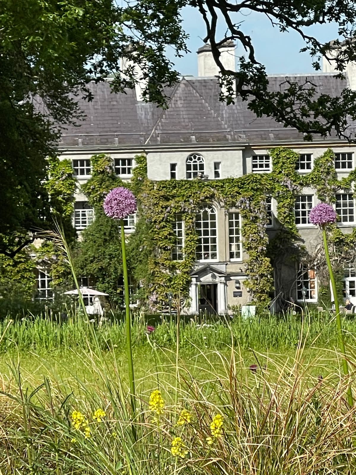 Fulacht fia in KilnagrangeFulacht fia · 1.0 mi
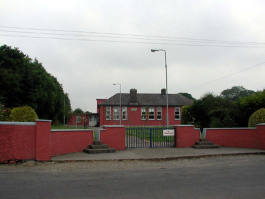 Newtown National Schoolschool · 1.5 mi
 Croughaun HillMountain / peak · 1.6 mi
 Site of Cas.Castle, unclassified · 2.0 mi
 8 Arch GalleryGallery · 2.1 mi
 CastleCastle, tower house · 2.7 mi
 Whitestown WoodForest · 3.0 mi
 Kilclooney WoodForest · 3.5 mi
 Donnell's HillMountain / peak · 4.2 mi
 CoumshingaunMountain corrie and lake · 4.7 mi