What is recorded here
Located on a low hillock in a level, low-lying landscape. This is a raised circular area (diam. 52m E-W; 49m N-S) growing mixed woodland trees and it is defined by a scarp (H 1.4m at E to 2m at S), with traces of a bank at W (Wth 6m; max. int. H 0.5m; ext. H 2.2m). There is no visible fosse, but there is an entrance (Wth 2.2m) at SW.
The above description is derived from the published 'Archaeological Inventory of County Wexford' (Dublin: Stationery Office, 1996). In certain instances the entries have been revised and updated in the light of recent research.
Compiled by: Michael Moore
Date of upload/revision: 28 May, 2013
The monument record does not grant public access. Check the route and ask the landowner before entering private land.
- What survives
- Recorded monument
Places near here
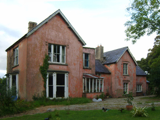 Rathjarney Villafarm house · 260 yd
 bridgebridge · 747 yd
 CastleCastle, tower house · 750 yd
 Site of ChurchChurch · 778 yd
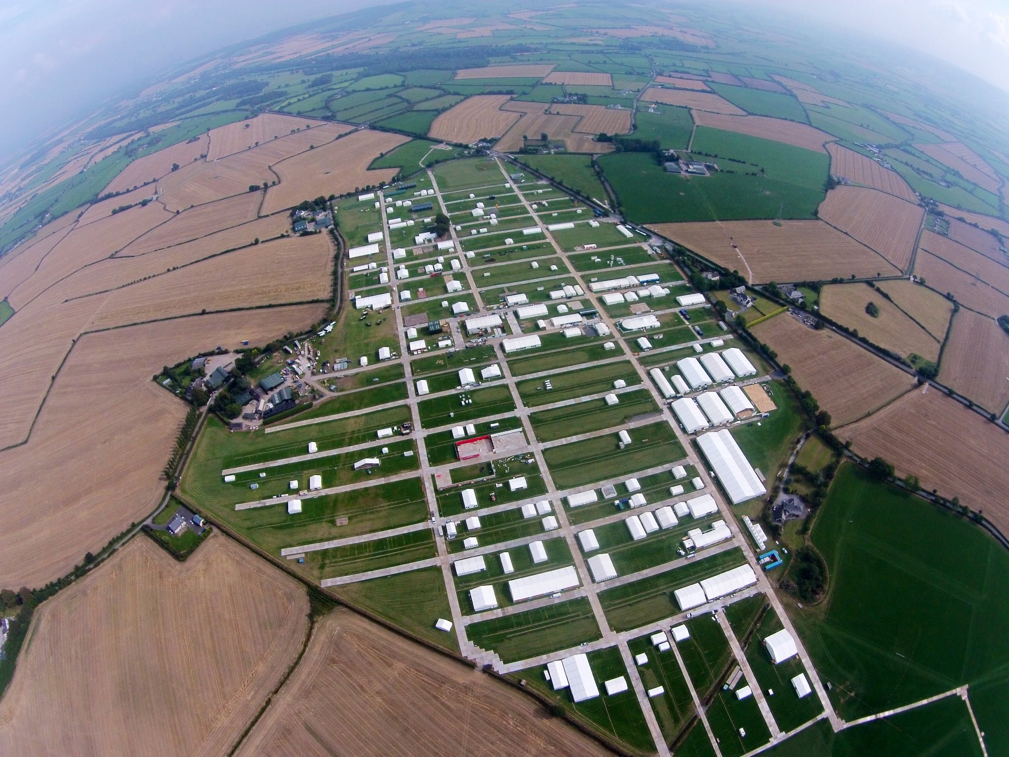 Field system in RingaheenField system · 1664 yd
 Johnstown Castle Visitor CentreHeritage attraction · 1.7 mi
 Irish Agricultural MuseumMuseum · 1.7 mi
 Japanese cedarJapanese cedar · 1.8 mi
 American SweetgumAmerican Sweetgum · 1.8 mi
 Ballyrane Castle (in ruins)Castle, tower house · 1.8 mi
 16th Irish DivisionMemorial · 3.5 mi
 1798 Memorial PlaqueMemorial · 3.9 mi