What is recorded here
Marked as a triangular embanked enclosure (ext. dims c. 80m E-W at N; c. 70m N-S) on the 1839 ed. of the OS 6-inch map with the apex at the S, and situated in a small N-S valley with the stream c. 30m to the E. It is traceable today as a slightly raised triangular area (dims 71m E-W; 60.5m N-S) defined by field banks and hedges on the N and SW sides, while a field bank has been removed on the SE side. Archaeological testing (22E0353) by N. Gregory immediately E of the site of the boundary at SE produced no related material (excavations.ie 2022:395).
The above description is derived from the published 'Archaeological Inventory of County Wexford' (Dublin: Stationery Office, 1996). In certain instances the entries have been revised and updated in the light of recent research.
Compiled by: Michael Moore
Date of upload/revision: 27 May, 2013
Amended: 10 March 2023
This remains an important historical record, but the official description says the monument is no longer visible or has been destroyed. The monument record does not grant public access. Check the route and ask the landowner before entering private land.
- What survives
- No visible remains or recorded as destroyed
Places near here
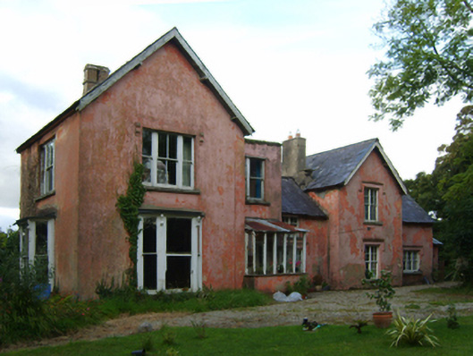 Rathjarney Villafarm house · 626 yd
 Saint Martin's Catholic Churchchurch/chapel · 1003 yd
 CastleCastle, tower house · 1074 yd
 Site of ChurchChurch · 1123 yd
 Johnstown Castle Visitor CentreHeritage attraction · 1.2 mi
 Irish Agricultural MuseumMuseum · 1.2 mi
 Windmill in Ballykilliane,sheepwalkWindmill · 1.2 mi
 Japanese cedarJapanese cedar · 1.3 mi
 American SweetgumAmerican Sweetgum · 1.3 mi
 Ballyrane Castle (in ruins)Castle, tower house · 2.3 mi
 16th Irish DivisionMemorial · 3.1 mi
 Skeater RockMountain / peak · 4.0 mi