
What is recorded here
Located on top of a hill at the E edge of the Slaney valley with the N-S river c. 200m to the W. This is a raised, scrub-covered, circular area (diam. 21m) defined by scarps (H 0.7m at SW to 1.4m generally). There is no visible fosse or entrance.
From the National Monuments Service (Archaeological Survey of Ireland) record WX032-017
Places near here
Picture notes
- Computer-made picture. It does not show this monument.
- Computer-made picture. It does not show this holy well.
- National Inventory of Architectural Heritage
- David Purchase, Wikimedia Commons · CC BY-SA 2.0
- Garry Dickinson, Geograph · CC BY-SA 2.0
- Computer-made picture. It does not show this playground.
- Thommcg1980, Wikimedia Commons · CC BY-SA 4.0
 Standing stone in PolldarrigStanding stone · 422 ydComputer-made picture
 IndicatedRing-ditch · 445 ydComputer-made picture
 (Site of) St. Davids WellHoly well · 900 ydComputer-made picture
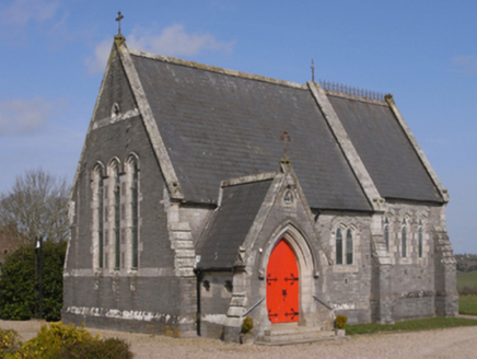 BellevueChurch/chapel · 957 yd
 Fairy fort / earthen ringfort in BallynacarrigFairy fort / earthen ringfort · 1440 ydComputer-made picture
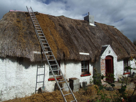 farm house1518 yd
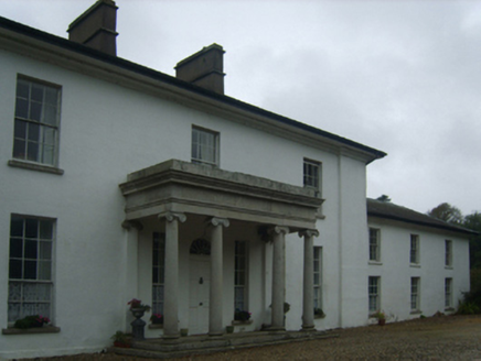 Brookhill HouseCountry house · 1535 yd
 Mackmine CastleCastle, tower house · 2.0 mi
 Wilton HouseCastle, unclassified · 4.5 mi
 Children's playground5.0 miComputer-made picture
 Shelmalier Community PlaygroundChildren's playground · 5.2 miComputer-made picture
 Commodore John Barry MemorialMemorial · 6.1 mi
More archaeology and monuments in County Wexford · All of County Wexford

What do you know about this place?Tap to add a comment or ask a question