What is recorded here
Located on a slight E-facing slope. This is a wedge-shaped, overgrown area (dims. 61-70m N-S; 49m E-W) defined by earthen banks (Wth 5-6m; int. H 0.6m) with external moats (Wth 5-6m; D below exterior 0.5m) on each side. There is a gap in the bank (Wth 3m) on the W side. (Barry 1977, 226, WX 100)
The above description is derived from the published 'Archaeological Inventory of County Wexford' (Dublin: Stationery Office, 1996). In certain instances the entries have been revised and updated in the light of recent research.
Compiled by: Michael Moore
Date of upload/revision: 21 May, 2012
The monument record does not grant public access. Check the route and ask the landowner before entering private land.
- What survives
- Recorded monument
Places near here
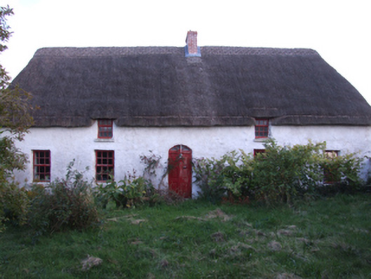 farm housefarm house · 214 yd
 Wexford - TexasMemorial · 716 yd
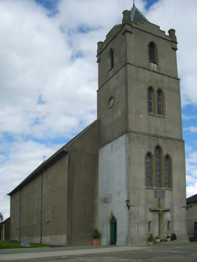 Catholic Church of the Star of the Seachurch/chapel · 755 yd
 1798 MemorialMemorial · 1145 yd
 Shrule Deer FarmHeritage attraction · 1706 yd
 Nick Corish MonumentMonument · 1.3 mi
 Cahore BeachBeach / strand · 1.3 mi
 Ladys Well or TobermurryHoly well · 1.4 mi
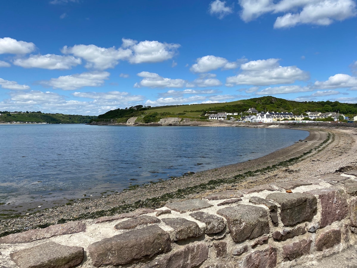 Glascarrig BeachBeach / strand · 1.5 mi
 Gilligan's CaveCave · 1.6 mi
 Embanked enclosureCastle, motte · 2.1 mi
 The Cahore Polders and DunesNature reserve · 2.2 mi