What is recorded here
Towards the bottom of a S-facing slope. Circular overgrown platform (diam. of top 9.3m E-W; diam. of base 13.5m E-W; H 0.3-0.4m) defined by a flat-bottomed fosse (Wth of top 8.5-9.7m; Wth of base 3-3.2m; D 0.5-0.9m) and outer bank (Wth 5.3-6.4m; H 0.3-0.7m) which is incorporated into a field bank WSW-NNW. A NW-SE field bank truncates the bank and fosse at NW. There is no visible entrance (max. ext. diam. 31.5m E-W). Earthwork (RO035-084----) is c. 150m to the N.
Compiled by: Michael Moore
Date of upload: 24 August 2010
Embanked enclosure, likely dating to the Late Bronze Age or Early Iron Age. Its construction suggests a defensive or ceremonial function, though its specific significance remains unclear due to lack of archaeological investigation.
The monument record does not grant public access. Check the route and ask the landowner before entering private land.
- What survives
- Recorded monument
Places near here
 Embanked enclosureFairy fort / earthen ringfort · 681 yd
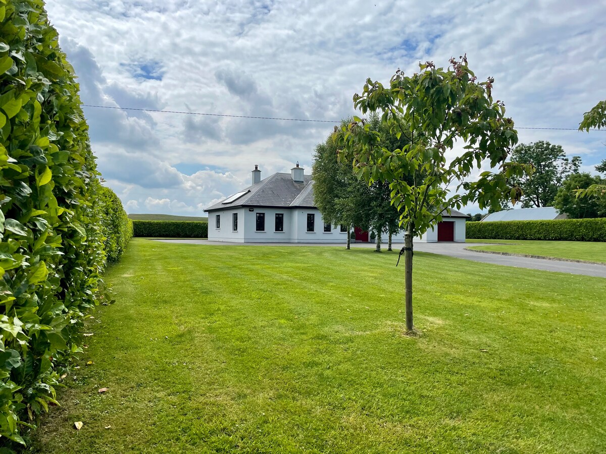
 Fortview Househouse · 1237 yd
 Enclosure in RanelaghEnclosure · 1.2 mi
 CastleCastle, unclassified · 1.9 mi
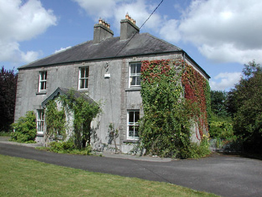 Castleview Househouse · 2.0 mi
 Roscommon CastleCastle · 2.3 mi
 Leitrim CastleCastle, unclassified · 3.6 mi
 Big IslandForest · 4.2 mi
 Little IslandForest · 4.3 mi
 Sally IslandIslet · 8.5 mi
 Dogs IslandIslet · 9.4 mi
 Black RockNamed rock · 9.5 mi