What is recorded here
Embanked enclosure is a cairn, unclassified in Mullaghnashee, County Roscommon, Ireland. It stands at the crest of the N end of the NW-SE ridge of Fairymount Hill as a subcircular grass and scrub-covered mound measuring 22.3m north-south and 17.2m east-west. A quarried upper surface spans 13.7m east-west and 13.1m north-south, reaching 0.2 to 0.5m in depth. A hilltop enclosure lies 250m southeast, and two hut sites lie 200m east.
At the crest of the N end of the NW-SE ridge of Fairymount Hill. Subcircular grass and scrub-covered cairn (dims 22.3m N-S; 17.2m E-W; H 1.5-2.1m) with a quarried upper surface (dims 13.7m E-W; 13.1m N-S; D 0.2-0.5m). Hilltop enclosure (RO014-078001-) is c. 250m to the SE, and hut sites (RO014-067001-; RO014-067002-) are c. 200m to the E.
Compiled by: Michael Moore
Date of upload: 24 August 2010
Embanked enclosure; likely dating to the Bronze Age. Its construction suggests a ceremonial or defensive function, though specific significance remains undetermined.
The monument record does not grant public access. Check the route and ask the landowner before entering private land.
- What survives
- Recorded monument
Places near here
 Fairymount HillMountain / peak · 312 yd
 LisdrumneillArchaeological place · 718 yd
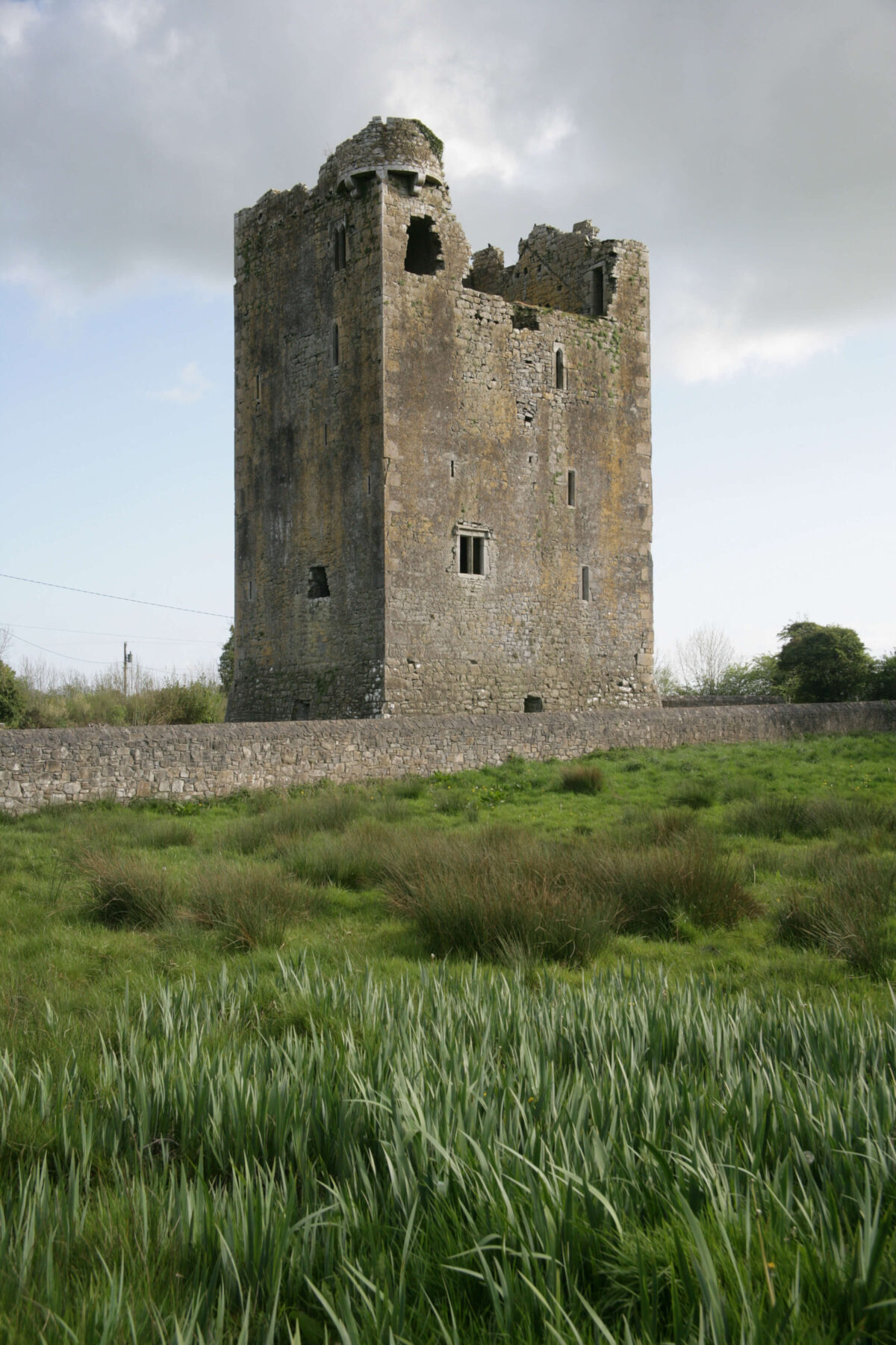 Embanked enclosureFairy fort / earthen ringfort · 1021 yd
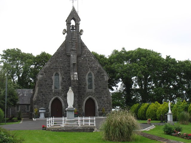 Catholic Church of the Sacred Heartchurch/chapel · 1117 yd
 Penitential station in Stonepark (frenchpark By., Fairymount Ed)Penitential station · 1.0 mi
 Druminagh WoodForest · 1.5 mi
 TowerCastle, tower house · 3.3 mi
 Frenchpark Ho.Castle, unclassified · 3.7 mi
 Square WoodForest · 4.5 mi
 Clonalis HouseMuseum · 4.6 mi
 Bawn IslandIslet · 5.1 mi
 Silver IslandIslet · 5.6 mi