
What is recorded here
Situated on a NE-facing slope of a small E-W spur of the N-S ridge of Slieveboy Hill. Marked as a subcircular embanked enclosure (ext. diam. c. 40m) on the 1839 ed. of the OS 6-inch map. No feature is visible at ground level in pasture, but it is known locally as the site of a raheen.
From the National Monuments Service (Archaeological Survey of Ireland) record WX010-009
Places near here
Photo credits
- National Inventory of Architectural Heritage
- Sarah777, Wikimedia Commons · Public domain
- Emf222, Wikimedia Commons · CC BY-SA 4.0
- Goreymurphy, Wikimedia Commons · CC BY-SA 4.0
- liam murphy, Wikimedia Commons · CC BY-SA 2.0
- 瑞丽江的河水, Wikimedia Commons · CC BY-SA 4.0
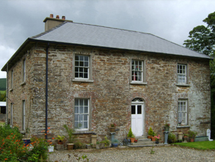 farm house1110 yd
 SlieveboyMountain / peak · 1.0 miEnclosure in Ballyduff (scarawalsh By., Kilcomb Ed)Enclosure · 1.1 miSlievegowerMountain / peak · 1.3 mi
 Saint Joseph's Catholic ChurchChurch/chapel · 1.3 miBlue SchoolMemorial · 1.5 miCamolin WoodForest · 1.5 mi
 Saint Brigid's WellSpring · 2.4 mi
 Brides WellHoly well · 2.4 mi
 Saint Mogue's WellSpring · 4.6 mi
 Ferns Castle (in ruins)Castle, Anglo-Norman masonry castle · 4.7 mi
 Ferns CastleVisitor attraction · 4.7 mi
More archaeology and monuments in County Wexford · All of County Wexford

What do you know about this place?Tap to add a comment or ask a question