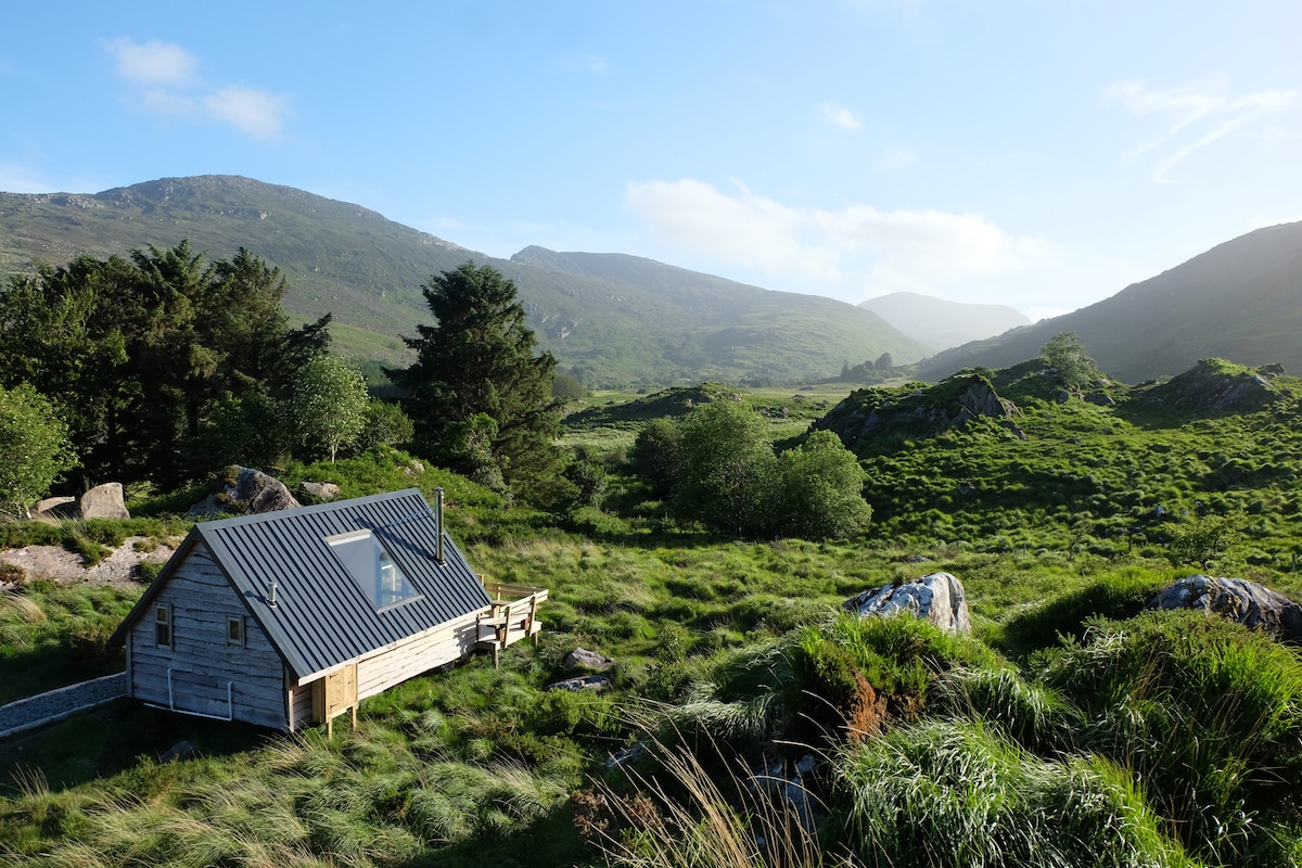
What is recorded here
Situated on a fairly steep SE-facing slope but at the base of a steeper slope that rises over it to the NW. The cropmark of a circular enclosure (diam. c. 54m N-S; c. 51m E-W) defined by a slight fosse or drain is visible only on Google Earth (14/07/2018). The perimeter can only be traced S-N-E, and it was first reported by Simon Dowling.
See the attached enhanced view from Google Earth
Compiled by: Michael Moore
Date of upload: 28 February 2020
The monument record does not grant public access. Check the route and ask the landowner before entering private land.
- What survives
- Recorded monument
Places near here
 Saint Joseph's Catholic Churchchurch/chapel · 792 yd
 Kilcomb Church (in ruins)Church · 891 yd
 SlieveboyMountain / peak · 1.2 mi
 Camolin WoodForest · 1.3 mi
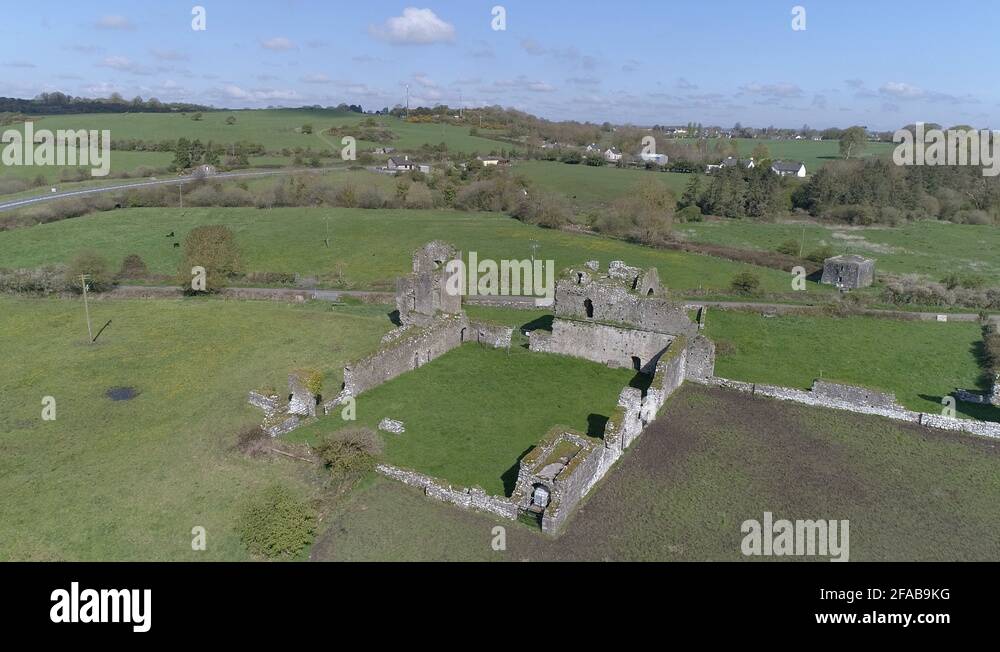 Enclosure in Ballybeg (scarawalsh By.)Enclosure · 1.4 mi
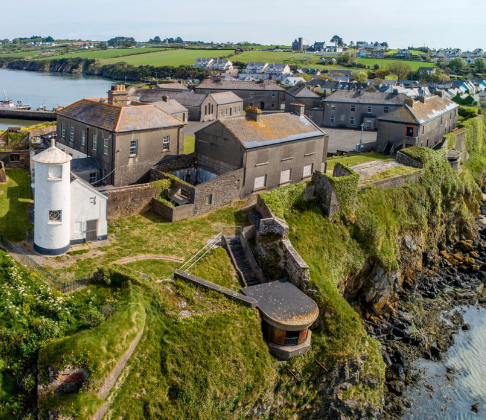 Enclosure in BolinaspickEnclosure · 2.0 mi
 Coolpuck WoodForest · 2.4 mi
 SlievegowerMountain / peak · 2.4 mi
 Blue SchoolMemorial · 2.4 mi
 Saint Brigid's WellSpring · 3.4 mi
 Ferns Castle (in ruins)Castle, Anglo-Norman masonry castle · 3.6 mi
 CastleCastle, unclassified · 4.4 mi
Other information
Photo: Credit not shown in the picture search · Rights wording not checked; contact us if this picture should be removed