What is recorded here
Marked as a rectangular embanked or moated enclosure (ext. dims. c. 40m E-W; c. 35m N-S) on the 1839 ed. of the OS 6-inch map and as a D-shaped enclosure truncated by a NNE-SSW field bank on the E side on the 1925 ed. It is located on a gentle E-facing slope in the foothills of White Mountain and was described in the 1940s as a circular area (diam. c. 20m) defined by an earthen bank with slight traces of a fosse (SMR file). It has been removed since the 1960s, and nothing is visible at ground level in pasture.
The above description is derived from the published 'Archaeological Inventory of County Wexford' (Dublin: Stationery Office, 1996). In certain instances the entries have been revised and updated in the light of recent research.
Compiled by: Michael Moore
Date of upload/revision: 25 June, 2012
This remains an important historical record, but the official description says the monument is no longer visible or has been destroyed. The monument record does not grant public access. Check the route and ask the landowner before entering private land.
- What survives
- No visible remains or recorded as destroyed
Places near here
 Site of ChurchChurch · 467 yd
 Embanked enclosureFairy fort / earthen ringfort · 1142 yd
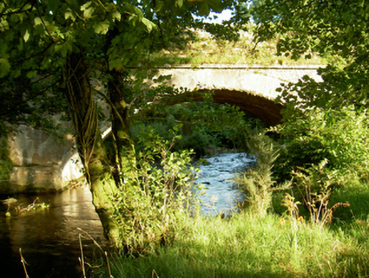 Tomanine Bridgebridge · 1.0 mi
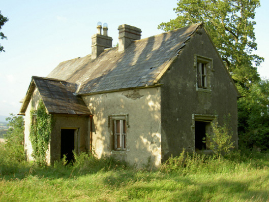 Coolbawn Housegate lodge · 1.2 mi
 White MountainMountain / peak · 2.2 mi
 CarrigvahanaghMountain / peak · 2.5 mi
 1798 RebellionMemorial · 2.8 mi
 1798 MemorialMemorial · 3.3 mi
 Site of Warrens CastleCastle, unclassified · 3.4 mi
 Ruin of a small castleRuins · 3.6 mi
 Silver WattleSilver Wattle · 4.4 mi
 The SpoutSpring · 6.0 mi