
What is recorded here
Depicted faintly as a rectangular structure (dims. c. 15m N-S; c. 8m E-W) in the centre of rath (WX024-002001-) which is described as the site of a church on the 1839 ed. of the OS 6-inch map. There is a tradition of burial in the interior but there is no evidence of a church or burial (WX024-002003-).
Compiled by: Michael Moore
Date of upload: 25 June (2012)
The monument record does not grant public access. Check the route and ask the landowner before entering private land.
- What survives
- Recorded monument
Places near here
 Embanked enclosureFairy fort / ringfort · 781 yd
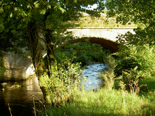 Tomanine Bridgebridge · 1657 yd
 IndicatedFairy fort / earthen ringfort · 1.1 mi
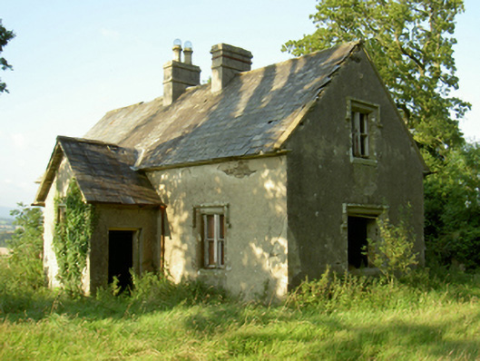 Coolbawn Housegate lodge · 1.3 mi
 White MountainMountain / peak · 2.1 mi
 CarrigvahanaghMountain / peak · 2.6 mi
 1798 RebellionMemorial · 3.0 mi
 1798 MemorialMemorial · 3.1 mi
 Ruin of a small castleRuins · 3.6 mi
 Site of Warrens CastleCastle, unclassified · 3.6 mi
 Silver WattleSilver Wattle · 4.5 mi
 The SpoutSpring · 6.0 mi
Other information
Photo: Credit not shown in the picture search · Rights wording not checked; contact us if this picture should be removed