
What is recorded here
Situated on a NE-facing slope in the foothills of White Mountain. This is a circular area (diam. 43.5m NW-SE; 41.5m NE-SW) defined by a low earthen bank (Wth 3.5-4.5m; int. H 0.2-0.8m; ext. H 0.7-1.4m), with external stone cladding E-S. There are some gaps in the perimeter at W but the original entrance cannot be identified, and there is no visible fosse. It is overlain by a NE-SW field wall that zig-zags across the site; it is planted with coniferous trees to the SE and is covered in scrub to the NW of this feature. Archaeological testing (07E0075) immediately to the N uncovered linear stone features that may be elements of a field system (Tierney and Rooney 2007).
The above description is derived from the published 'Archaeological Inventory of County Wexford' (Dublin: Stationery Office, 1996). In certain instances the entries have been revised and updated in the light of recent research.
Compiled by: Michael Moore
Date of upload/revision: 25 June, 2012
The monument record does not grant public access. Check the route and ask the landowner before entering private land.
- What survives
- Recorded monument
Places near here
 Site of ChurchChurch · 1047 yd
 White MountainMountain / peak · 1686 yd
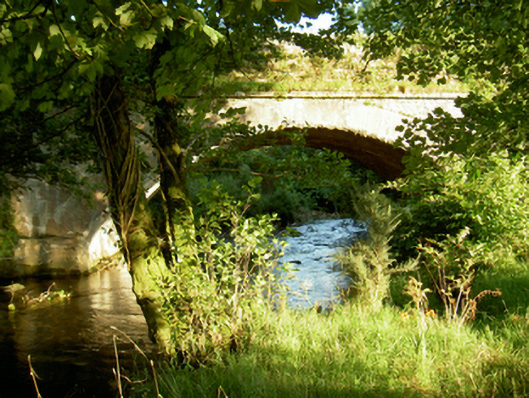 Tomanine Bridgebridge · 1.5 mi
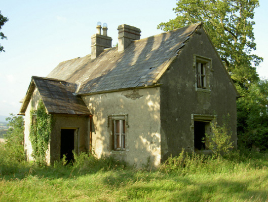 Coolbawn Housegate lodge · 1.8 mi
 IndicatedEnclosure · 1.9 mi
 CarrigvahanaghMountain / peak · 2.1 mi
 1798 RebellionMemorial · 2.7 mi
 Site of Warrens CastleCastle, unclassified · 3.3 mi
 1798 MemorialMemorial · 3.6 mi
 Pollmounty Castle (in Ruins)Castle, tower house · 3.8 mi
 Silver WattleSilver Wattle · 4.0 mi
 Bahana WoodForest · 5.1 mi
Other information
Photo: Credit not shown in the picture search · Rights wording not checked; contact us if this picture should be removed