What is recorded here
Located towards the top of a NW-facing slope. Overgrown circular area (diam. c. 35m) defined by an earthen bank (at SW: Wth 3.75m; int. H 1.15m; ext. H 0.9m) which is incorporated into a field bank NE-SW. The remains of a drystone wall are visible on top of the field bank. An entrance (Wth 1.2m) at NNW may be modern, and there is no visible fosse.
The above description is derived from the published 'Archaeological Inventory of County Waterford' (Dublin: Stationery Office, 1999). In certain instances the entries have been revised and updated in the light of recent research.
Compiled by: Michael Moore.
Date of upload/revision: 9th May, 2011.
The monument record does not grant public access. Check the route and ask the landowner before entering private land.
- What survives
- Recorded monument
Places near here
 IndicatedRoad, road/trackway · 551 yd
 Embanked enclosureFairy fort / earthen ringfort · 805 yd
 Church (in ruins)Castle, unclassified · 904 yd
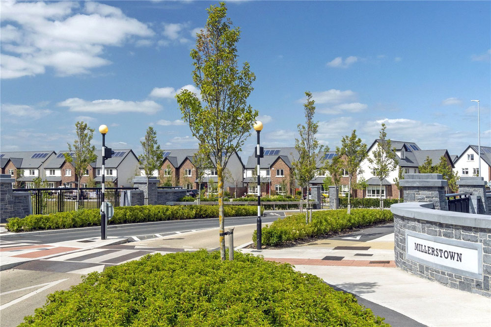 Man-made underground passage in MillerstownMan-made underground passage · 976 yd
 Water millWater mill, horizontal-wheeled · 1059 yd
 Castle (in ruins)Castle, unclassified · 1.1 mi
 Stradbally Geological SundialHeritage attraction · 1.8 mi
 Stradbally CoveBeach / strand · 2.3 mi
 Grange WellSpring · 3.1 mi
 Deelish MountainMountain / peak · 3.9 mi
 Ballydowane CoveBeach / strand · 4.0 mi
 Crough WoodWood · 4.3 mi