
What is recorded here
From the National Monuments Service (Archaeological Survey of Ireland) record WA034-011
Places near here
Photo credits
- Maker not stated on source page, commons.wikimedia.org
- Maker not stated on source page, en.wikipedia.org
- Maker not stated on source page, monumentalireland.ie
- National Inventory of Architectural Heritage
- Maker not stated on source page, www.pinterest.com
- Hywel Williams, Geograph · Creative Commons Attribution-ShareAlike 2.0
- Maker not stated on source page, work.chron.com
- Kmcnamee, Wikimedia Commons · CC BY-SA 4.0
- E. H. (E. Hayden), Wikimedia Commons · Public domain
- Mike Searle, Geograph · CC BY-SA 2.0
 Church in Shanakill (decies Within Drum By., Aglish Par.)Church · 1160 yd
Explorer Tom Church in Shanakill is so elusive it might be the only church on earth that refuses to show up for its own birthday…
 Church in TinnascartChurch · 1734 yd
Explorer Tom Church in Tinnascart is unlocated, which means it’s probably the reason that poet fell in the ditch nearby; he was…
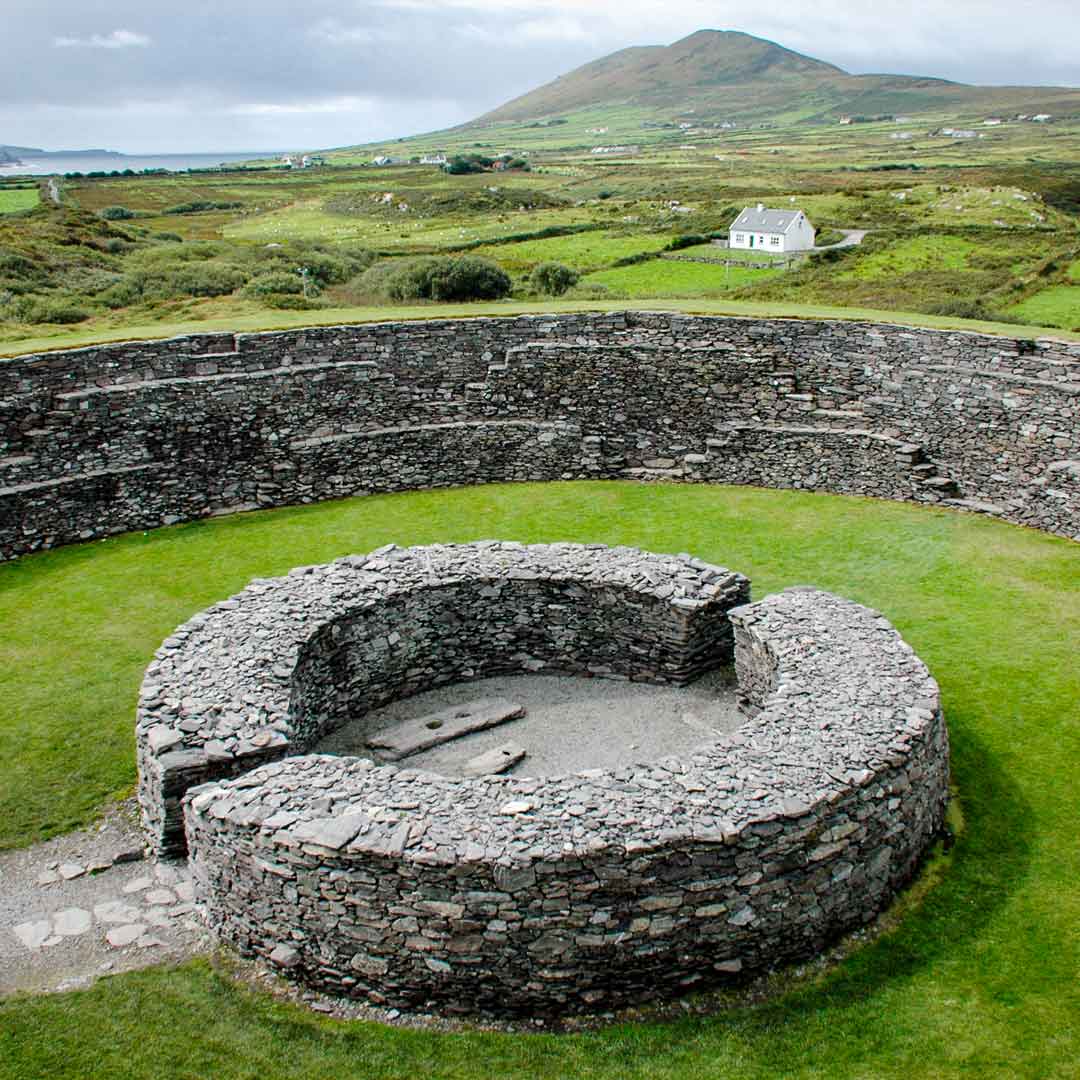 Fairy fort / earthen ringfort in Monagally WestFairy fort / earthen ringfort · 1.0 mi
Explorer Tom Fairy fort in Monagally West has a legend about a giant who sneezed and created the second entrance, but I think he…
 outbuilding1.5 mi
Explorer Tom Outbuilding in Aglish is just sitting there with its corrugated iron roof, looking too cool for school while using…
 Church (in ruins)Church · 1.6 mi
Explorer Tom Church in Aglish took roughly four million cups of tea to build, mostly because the masons kept stopping to chat with…
 Aglish Old GraveyardCemetery · 1.6 mi
Explorer Tom Aglish Old Graveyard would tell its younger self to stop worrying about what the living think. It’s seen better days…
 Saint Declan's Holy WellSpring · 1.6 mi
Explorer Tom This Saint Declan's Holy Well is where an ancient matchmaker arranged dates for lonely farmers seeking wives. She…
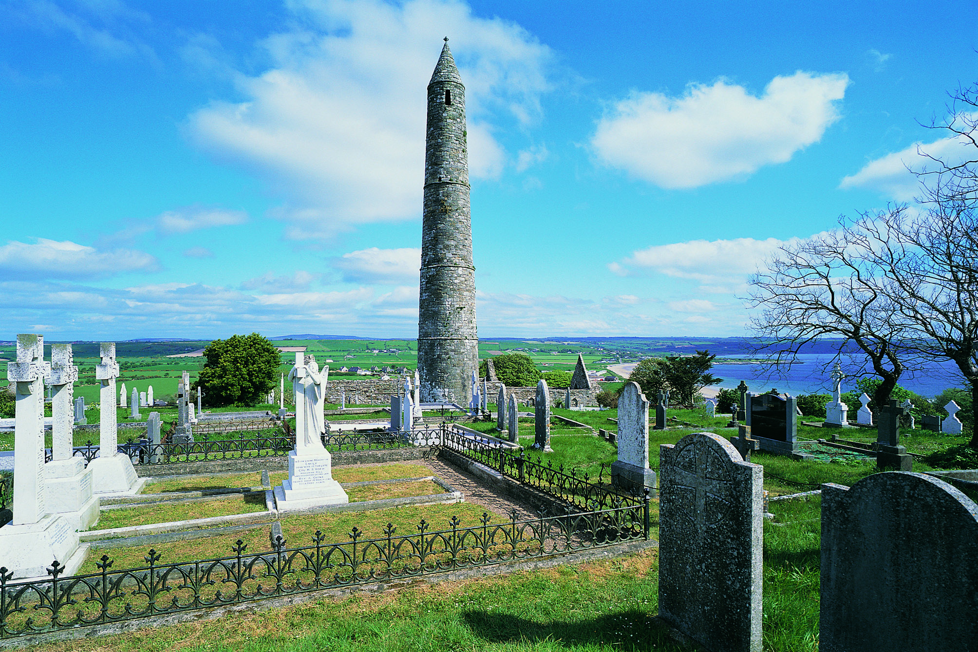 Aglish Church CemeteryCemetery · 1.7 mi
Explorer Tom Aglish Church Cemetery had a fiddler who played all night, and the dead still haven’t forgiven him. The tunes are…
 Geraldines GAA pitchGAA ground · 1.9 mi
 Strancally Castle (in ruins)Castle, hall-house · 2.3 mi
Explorer Tom Strancally Castle has strict rules for visitors: no touching the rock, no asking about the rebellion, and definitely no…
 Ogham stone in DromoreOgham stone · 2.3 mi
Explorer Tom Ogham stone in Dromore makes a weird creaking sound at night that sounds like a giant stretching its legs. It’s broken…
 Molana AbbeyHeritage attraction · 4.7 mi
Explorer Tom Molana Abbey in County Waterford is having a total meltdown on reality TV right now. It’s been standing there since the…
More archaeology and monuments in County Waterford · All of County Waterford

What do you know about this place?Tap to add a comment or ask a question