What is recorded here
Marked as a circular embanked enclosure (ext. diam. c. 35-40m) only on the 1837 ed. of the OS 6-inch map, and situated on a gentle S-facing slope of the foothills of the Curlew Mountains. An arc (C c. 20m) of a scarp (H 0.5-1m) survives S-W in pasture. Archaeological testing during 2008 c. 50m to the SE failed to produce any related material (Read 2008d; 2011a).
Compiled by: Michael Moore
Date of upload: 20th June 2011
The monument record does not grant public access. Check the route and ask the landowner before entering private land.
- What survives
- Recorded monument
Places near here
 IndicatedFairy fort / earthen ringfort · 571 yd
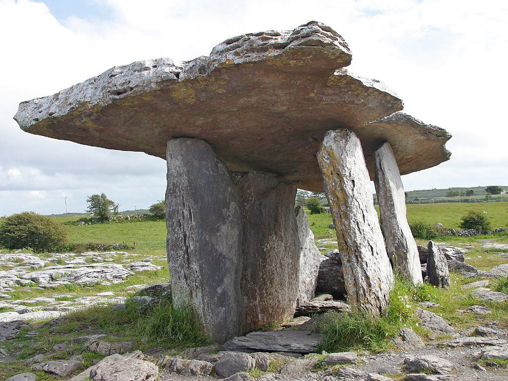 Drumanone DolmenArchaeological place · 1348 yd
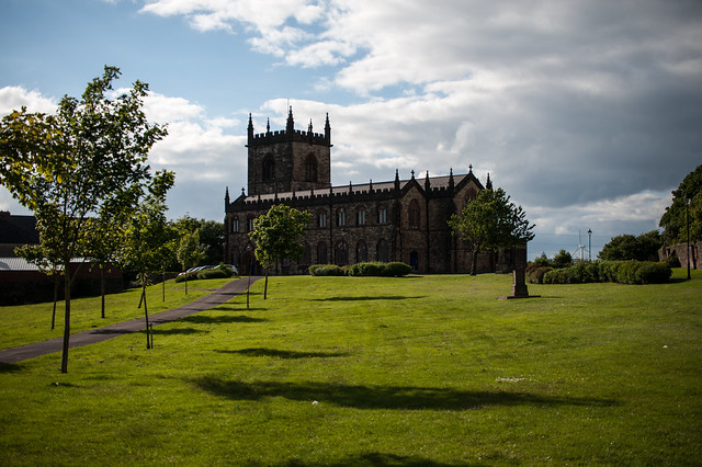 Assylin ChurchChurch · 1.1 mi
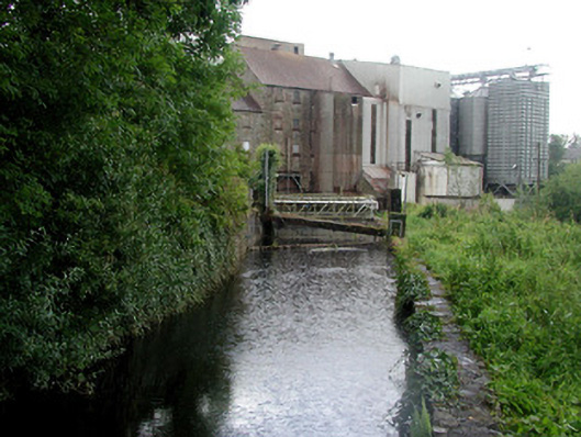 mill racemill race · 1.4 mi
 King William MemorialMonument · 1.7 mi
 Battle of Curlew PassMajor battlefield · 1.8 mi
 Battle of the Curlew Mountains (1599)Battlefield · 1.8 mi
 Boyle AbbeyHeritage attraction · 1.8 mi
 Curlew MountainsMountain / peak · 2.0 mi
 Bingham IslandIslet · 3.2 mi
 Ballinafad CastleCastle · 3.3 mi
 Erris BayBay · 3.4 mi